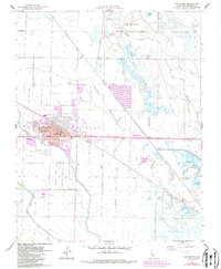
1960 Map of Los Banos
USGS Topo · Published 1987About this map
Los Banos serves as the focal point of this Central Valley survey, showing the community at a time of expansion alongside traditional agricultural and water management systems. The town's growth is evidenced by developments like the West Side Union High School and the Municipal Airport, while its civic center includes the City Hall and Post Office. This landscape is defined by its complex water infrastructure, featuring the Arroyo Canal and Mud Slough Bypass which manage the low-lying wetlands of the Los Banos State Wildlife Area. To the east and south, various sporting and recreation sites like the Los Banos Gun Club, Carmel Gun Club, and Big Water Camp highlight the region's long-standing connection to waterfowl habitat and seasonal recreation in the San Joaquin Valley.
Find a feature on this map
50 named features on this map. Tap any name to fly to it.
Don’t see what you’re looking for? This feature index may not catch every label — zoom into the map to look around manually.
Map Details
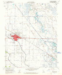
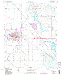
Editions of this 1960 Los Banos Map
3 editions found
Other maps of this area

1913 · Panoche
USGS Topo · 1:125,000

1916 · Delta Ranch
USGS Topo · 1:24,000

1918 · Turner Ranch
USGS Topo · 1:31,680

1919 · San Luis Ranch
USGS Topo · 1:31,680

1919 · Ingomar
USGS Topo · 1:31,680

1920 · Carrisalito Spring
USGS Topo · 1:31,680

1921 · Volta
USGS Topo · 1:31,680

1921 · Los Banos
USGS Topo · 1:31,680

1922 · Charleston School
USGS Topo · 1:31,680

1922 · Dos Palos
USGS Topo · 1:31,680