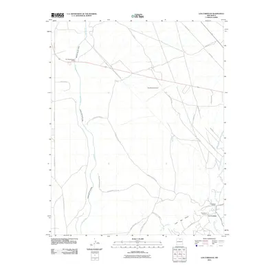
2010 Map of Los Cordovas
USGS Topo · Published 2010About this map
The confluence of the Rio Pueblo de Taos and the Rio Grande del Rancho anchors the settlement of Los Cordovas, where traditional agricultural infrastructure like the Acequia de Manuel Andres Trujillo remains a vital part of the landscape. The high desert plains are bisected by the massive Cañon del Rio Grande, spanned by the notable Rio Grande Gorge Bridge. This 2010 survey shows a network of Indian Service Routes connecting the canyon rim to the eastern valleys, where local landmarks like the San Ysidro Oratorio and Peñas Negras Cemetery serve as cultural touchstones. The transition from the sheer depths of the Rio Grande gorge to the more populated corridors near Lower Taos Canyon illustrates the enduring relationship between Taos County's geography and its community layout.
Find a feature on this map
37 named features on this map. Tap any name to fly to it.
Don’t see what you’re looking for? This feature index may not catch every label — zoom into the map to look around manually.
Map Details
Editions of this 2010 Los Cordovas Map
This is the sole edition of this map. No revisions or reprints were ever made.
Other maps of this area

1954 · Raton
USGS Topo · 1:250,000

1958 · Raton
USGS Topo · 1:250,000

1961 · Carson
USGS Topo · 1:24,000

1961 · Tres Orejas
USGS Topo · 1:24,000

1963 · Arroyo Seco
USGS Topo · 1:24,000

1963 · Arroyo Hondo
USGS Topo · 1:24,000

1963 · Cerro De Los Taoses
USGS Topo · 1:24,000

1964 · Los Cordovas
USGS Topo · 1:24,000

1964 · Taos
USGS Topo · 1:24,000

1964 · Ranchos De Taos
USGS Topo · 1:24,000