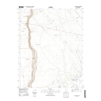
2013 Map of Los Cordovas
USGS Topo · Published 2013About this map
The Rio Grande carves a deep path through this portion of Taos County, defined by the dramatic Cañon del Rio Grande and the iconic Rio Grande Gorge Bridge. To the east, the settlement of Los Cordovas sits near the confluence of several vital waterways, including the Rio Pueblo de Taos and Rio Grande del Rancho. This area is marked by traditional irrigation systems such as the Acequia de Manuel Andres Trujillo, which reflect the long-standing agricultural practices of the high desert.
Find a feature on this map
53 named features on this map. Tap any name to fly to it.
Don’t see what you’re looking for? This feature index may not catch every label — zoom into the map to look around manually.
Map Details
Editions of this 2013 Los Cordovas Map
This is the sole edition of this map. No revisions or reprints were ever made.
Other maps of this area

1954 · Raton
USGS Topo · 1:250,000

1958 · Raton
USGS Topo · 1:250,000

1961 · Carson
USGS Topo · 1:24,000

1961 · Tres Orejas
USGS Topo · 1:24,000

1963 · Arroyo Seco
USGS Topo · 1:24,000

1963 · Arroyo Hondo
USGS Topo · 1:24,000

1963 · Cerro De Los Taoses
USGS Topo · 1:24,000

1964 · Los Cordovas
USGS Topo · 1:24,000

1964 · Taos
USGS Topo · 1:24,000

1964 · Ranchos De Taos
USGS Topo · 1:24,000