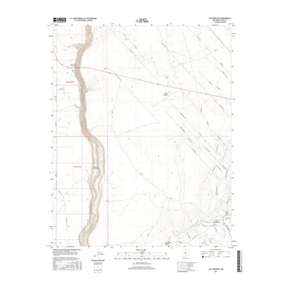
2017 Map of Los Cordovas
USGS Topo · Published 2017About this map
The Rio Grande carves a deep, winding course through the Cañon del Rio Grande in this 2017 study of the Taos County landscape. This stretch of the river is defined by a series of distinct whitewater features, including Ski Jump Rapid, High Bridge Rapid, and Power Line Falls Rapid. The rugged chasm contrasts sharply with the high mesa to the east, where the Taos Regional Airport and the settlement of Los Cordovas sit.
Find a feature on this map
81 named features on this map. Tap any name to fly to it.
Don’t see what you’re looking for? This feature index may not catch every label — zoom into the map to look around manually.
Map Details
Editions of this 2017 Los Cordovas Map
This is the sole edition of this map. No revisions or reprints were ever made.
Other maps of this area

1954 · Raton
USGS Topo · 1:250,000

1958 · Raton
USGS Topo · 1:250,000

1961 · Carson
USGS Topo · 1:24,000

1961 · Tres Orejas
USGS Topo · 1:24,000

1963 · Arroyo Seco
USGS Topo · 1:24,000

1963 · Arroyo Hondo
USGS Topo · 1:24,000

1963 · Cerro De Los Taoses
USGS Topo · 1:24,000

1964 · Los Cordovas
USGS Topo · 1:24,000

1964 · Taos
USGS Topo · 1:24,000

1964 · Ranchos De Taos
USGS Topo · 1:24,000