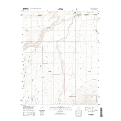
2013 Map of Los Pinos
USGS Topo · Published 2013About this map
Rio de los Pinos and the Rio San Antonio dominate this high-altitude landscape where the Colorado and New Mexico borders meet. The settlement of Los Pinos and the nearby siding at Lava are connected by a rail corridor that features infrastructure such as the Big Horn Siding Rail Road-Water Tank. This 2013 survey illustrates a region defined by its water management and ranching history, with features like the Llano Ditch and T Bone Ranch illustrating the human imprint on the terrain.
Find a feature on this map
34 named features on this map. Tap any name to fly to it.
Don’t see what you’re looking for? This feature index may not catch every label — zoom into the map to look around manually.
Map Details
Editions of this 2013 Los Pinos Map
This is the sole edition of this map. No revisions or reprints were ever made.
Other maps of this area

1918 · Tusas
USGS Topo · 1:125,000

1922 · Conejos
USGS Topo · 1:125,000

1945 · Durango
USGS Topo · 1:250,000

1953 · Durango
USGS Topo · 1:250,000

1954 · Durango
USGS Topo · 1:250,000

1954 · Raton
USGS Topo · 1:250,000

1954 · Trinidad
USGS Topo · 1:250,000

1954 · Aztec
USGS Topo · 1:250,000

1955 · Trinidad
USGS Topo · 1:250,000

1958 · Raton
USGS Topo · 1:250,000