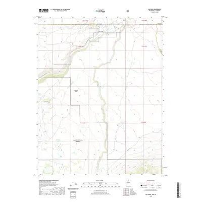
2020 Map of Los Pinos
USGS Topo · Published 2020About this map
The high desert borderlands between New Mexico and Colorado are defined by the winding paths of Rio de los Pinos and Rio San Antonio. In this 2020 edition, the small settlements of Los Pinos and Ortiz sit just north of the state boundary, where the landscape transitions into the protected acreage of the Carson National Forest. The map reveals a complex water management system vital for this arid region, including the Llano Ditch and several livestock-supporting features like Pit Tank Number Two and Chino Tank. Rising above the valley floor, Pinabetal Mesa and Chino Peak provide significant vertical relief, while the Los Pinos River Access Rd suggests the continuing importance of these waterways for both utility and recreation in Rio Arriba County.
Find a feature on this map
28 named features on this map. Tap any name to fly to it.
Don’t see what you’re looking for? This feature index may not catch every label — zoom into the map to look around manually.
Map Details
Editions of this 2020 Los Pinos Map
This is the sole edition of this map. No revisions or reprints were ever made.
Other maps of this area

1918 · Tusas
USGS Topo · 1:125,000

1922 · Conejos
USGS Topo · 1:125,000

1945 · Durango
USGS Topo · 1:250,000

1953 · Durango
USGS Topo · 1:250,000

1954 · Durango
USGS Topo · 1:250,000

1954 · Raton
USGS Topo · 1:250,000

1954 · Trinidad
USGS Topo · 1:250,000

1954 · Aztec
USGS Topo · 1:250,000

1955 · Trinidad
USGS Topo · 1:250,000

1958 · Raton
USGS Topo · 1:250,000