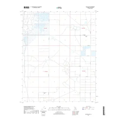
2018 Map of Lost Hills NE
USGS Topo · Published 2018About this map
San Joaquin Valley hydrology and agricultural grid work define this 2018 study of Kern County. The landscape is dominated by the intermittent path of Poso Creek, which meanders across the northern and eastern sections of the quadrangle. Managed water systems are evident through the presence of the Goose Lake Canal to the west, reflecting the region's intensive irrigation history. The terrain is largely level, though the subtle rise of Semitropic Ridge appears in the southwestern corner, providing a slight topographical variation to the otherwise uniform basin floor.
Find a feature on this map
17 named features on this map. Tap any name to fly to it.
Don’t see what you’re looking for? This feature index may not catch every label — zoom into the map to look around manually.
Map Details
Editions of this 2018 Lost Hills NE Map
This is the sole edition of this map. No revisions or reprints were ever made.
Other maps of this area

1914 · Lost Hills
USGS Topo · 1:125,000

1927 · Semitropic
USGS Topo · 1:31,680

1929 · Hacienda Ranch
USGS Topo · 1:31,680

1929 · Allensworth
USGS Topo · 1:31,680

1930 · Leonards
USGS Topo · 1:31,680

1930 · Hamlin School
USGS Topo · 1:31,680

1930 · Miramonte Ranch
USGS Topo · 1:31,680

1931 · Goose Lake
USGS Topo · 1:31,680

1932 · West of Goose Lake
USGS Topo · 1:31,680

1932 · Reynolds Ranch
USGS Topo · 1:31,680