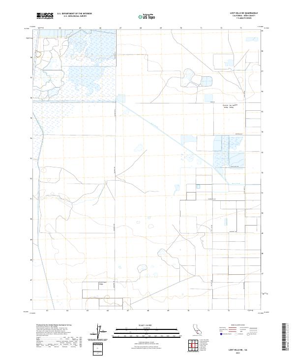
2021 Map of Lost Hills NE
USGS Topo · Published 2021About this map
Central San Joaquin Valley Valley terrain dominates this 2021 survey, illustrating a landscape defined by industrial-scale agriculture and water management. The topographic data highlights the natural course of Poso Creek alongside the engineered Goose Lake Canal, showcasing the critical infrastructure required to sustain cultivation in this arid region of Kern County. The Semitropic Ridge provides a slight rise in an otherwise flat expanse, a feature that influenced the historical layout of local transit and land use.
Find a feature on this map
16 named features on this map. Tap any name to fly to it.
Don’t see what you’re looking for? This feature index may not catch every label — zoom into the map to look around manually.
Map Details
Editions of this 2021 Lost Hills NE Map
This is the sole edition of this map. No revisions or reprints were ever made.
Other maps of this area

1914 · Lost Hills
USGS Topo · 1:125,000

1927 · Semitropic
USGS Topo · 1:31,680

1929 · Hacienda Ranch
USGS Topo · 1:31,680

1929 · Allensworth
USGS Topo · 1:31,680

1930 · Leonards
USGS Topo · 1:31,680

1930 · Hamlin School
USGS Topo · 1:31,680

1930 · Miramonte Ranch
USGS Topo · 1:31,680

1931 · Goose Lake
USGS Topo · 1:31,680

1932 · West of Goose Lake
USGS Topo · 1:31,680

1932 · Reynolds Ranch
USGS Topo · 1:31,680