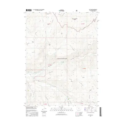
2016 Map of Lost Park
USGS Topo · Published 2016About this map
Routt National Forest and White River National Forest converge in this high-elevation landscape within Rio Blanco County. The area is defined by a dense network of drainage systems and high ridges, where the North Fork White River and Marvine Cr carve through the terrain. Notable peaks and basins such as Sand Peak and the Missouri Basin dominate the eastern portion of the sheet, while the namesake Lost Park sits in the northwest. This 2016 survey illustrates the intricate trail systems that have replaced primitive roads in many forest management areas, including the Dead Horse Loop and the long-stretching Marvine Trail. The presence of numerous designated parks like Little Lost Park and Wild Cow Park suggests a history of grazing or distinct meadow ecosystems preserved within the timbered reaches. Researchers can trace the path of Co RD 8 as it follows the river, providing a look at the modern access points to this backcountry region.
Find a feature on this map
56 named features on this map. Tap any name to fly to it.
Don’t see what you’re looking for? This feature index may not catch every label — zoom into the map to look around manually.
Map Details
Editions of this 2016 Lost Park Map
This is the sole edition of this map. No revisions or reprints were ever made.
Other maps of this area

1906 · Grand Hogback
USGS Topo · 1:125,000

1910 · Danforth Hills
USGS Topo · 1:125,000

1910 · Grand Hogback
USGS Topo · 1:125,000

1927 · Glenwood Springs
USGS Topo · 1:125,000

1930 · Glenwood Springs
USGS Topo · 1:125,000

1954 · Craig
USGS Topo · 1:250,000

1957 · Craig
USGS Topo · 1:250,000

1957 · Leadville
USGS Topo · 1:250,000

1958 · Craig
USGS Topo · 1:250,000

1959 · Leadville
USGS Topo · 1:250,000