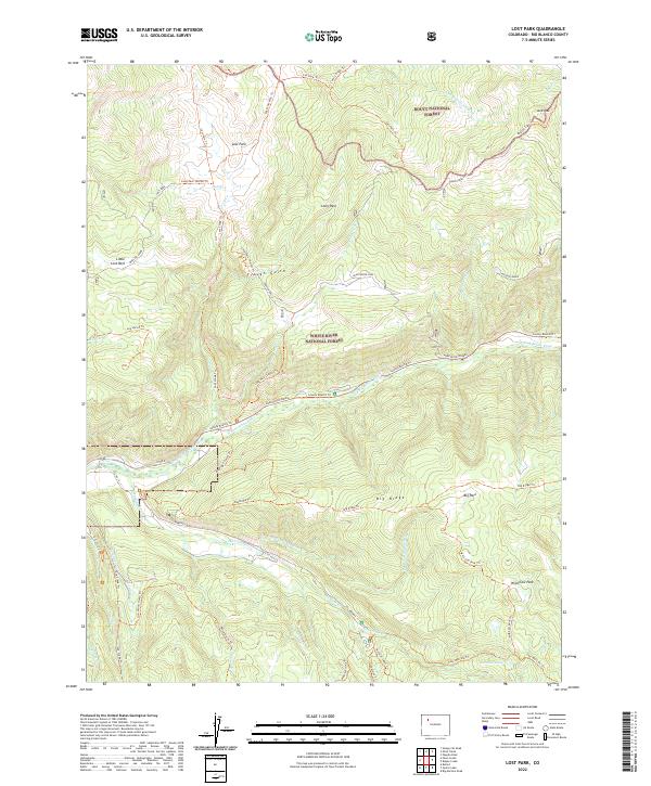
2022 Map of Lost Park
USGS Topo · Published 2022About this map
White River National Forest and Routt National Forest meet in this high-altitude landscape defined by vast glacial parks and a complex network of forest trails. The terrain transitions from the open meadows of Lost Park and Long Park to the sharp drainage of the North Fork White River and Marvine Cr. Evidence of the region’s long history of forest management and early twentieth-century travel is preserved in the naming of the Marvine-Phippsburg trail and the Dead Horse Loop.
Find a feature on this map
57 named features on this map. Tap any name to fly to it.
Don’t see what you’re looking for? This feature index may not catch every label — zoom into the map to look around manually.
Map Details
Editions of this 2022 Lost Park Map
This is the sole edition of this map. No revisions or reprints were ever made.
Other maps of this area

1906 · Grand Hogback
USGS Topo · 1:125,000

1910 · Danforth Hills
USGS Topo · 1:125,000

1910 · Grand Hogback
USGS Topo · 1:125,000

1927 · Glenwood Springs
USGS Topo · 1:125,000

1930 · Glenwood Springs
USGS Topo · 1:125,000

1954 · Craig
USGS Topo · 1:250,000

1957 · Craig
USGS Topo · 1:250,000

1957 · Leadville
USGS Topo · 1:250,000

1958 · Craig
USGS Topo · 1:250,000

1959 · Leadville
USGS Topo · 1:250,000