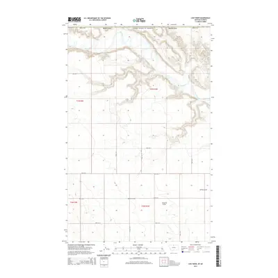
2014 Map of Lost River
USGS Topo · Published 2014About this map
The Milk River meanders across the northern portion of this Hill County landscape, where it is joined by its namesake tributary, the Lost River. The terrain is defined by dramatic erosional features typical of the northern Montana plains, most notably the deep incisions of Sahara Coulee, Ninemile Coulee, and Spring Coulee. This section of the High Line region exhibits a strictly regulated grid of section lines and gravel paths, including Hingham Rd and Road 250 N, which serve the expansive agricultural tracts between the coulees. The proximity to the international border is marked by the presence of the United States of America boundary line along the map's northern edge, reflecting the remote and sparsely populated character of this borderland territory.
Find a feature on this map
21 named features on this map. Tap any name to fly to it.
Don’t see what you’re looking for? This feature index may not catch every label — zoom into the map to look around manually.
Map Details
Editions of this 2014 Lost River Map
This is the sole edition of this map. No revisions or reprints were ever made.
Other maps of this area

1919 · Alma
USGS Topo · 1:125,000

1920 · Gildford
USGS Topo · 1:125,000

1943 · Gildford
USGS Topo · 1:125,000

1954 · Shelby
USGS Topo · 1:250,000

1958 · Shelby
USGS Topo · 1:250,000
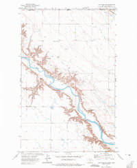
1972 · Lost River NE
USGS Topo · 1:24,000

1972 · Mc Kinnsey Reservoir East
USGS Topo · 1:24,000

1972 · Mc Kinnsey Reservoir West
USGS Topo · 1:24,000
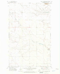
1972 · Ninemile Coulee West
USGS Topo · 1:24,000
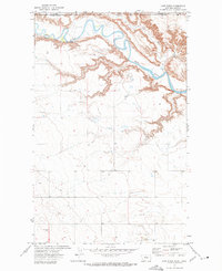
1972 · Lost River
USGS Topo · 1:24,000