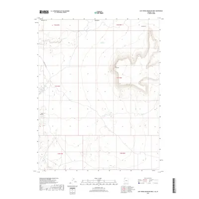
2018 Map of Lost Spring Mountain West
USGS Topo · Published 2018About this map
Honeymoon Trail Rd cuts through the western portion of this high desert landscape in Mohave County, tracing a route of historical significance through the arid terrain. The geography is defined by the prominent Lost Spring Mtn, which dominates the central and eastern sections, and the notable passage at Canaan Gap to the northeast. Water sources are critical markers in this environment, evidenced by named points such as Antelope Spring, Cottonwood Spring, and Lytle Spring, along with the seasonal drainage of Clayhole Wash. The presence of Reeds Reservoir and small catchments suggests a landscape managed for livestock or resource preservation. This topographic survey captures the intricate network of washes and high elevation ridges that have dictated travel and land use in this corner of the Arizona Strip.
Find a feature on this map
19 named features on this map. Tap any name to fly to it.
Don’t see what you’re looking for? This feature index may not catch every label — zoom into the map to look around manually.
Map Details
Editions of this 2018 Lost Spring Mountain West Map
This is the sole edition of this map. No revisions or reprints were ever made.
Other maps of this area

1885 · St. George
USGS Topo · 1:250,000

1886 · Mt. Trumbull
USGS Topo · 1:250,000

1891 · St. George
USGS Topo · 1:250,000

1892 · Mt. Trumbull
USGS Topo · 1:250,000

1953 · Cedar City
USGS Topo · 1:250,000

1953 · Grand Canyon
USGS Topo · 1:250,000

1954 · La Verkin 4 SE
USGS Topo · 1:24,000

1954 · La Verkin 4 SW
USGS Topo · 1:24,000

1954 · Lost Spring SE
USGS Topo · 1:24,000

1954 · Hurricane Cliffs 2 NE
USGS Topo · 1:24,000