Loading...
Loading map...2021 Map of Lost Springs
USGS Topo · Published 2021About this map
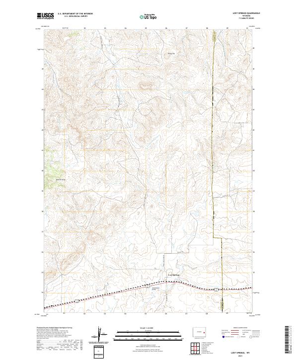
Lost Springs serves as the primary landmark in this ranching landscape where the high plains meet the drainages of the Lost Cr and Twentymile Cr basins. The terrain is defined by a series of deep drainages and draws that carve through the cattle country of eastern Wyoming, including Watkins Draw and Stevenson Draw. These features, along with the prominent elevation at Rocky Top, reflect the area's geological character and the necessity of water management in a semi-arid region.
Find a feature on this map
21 named features on this map. Tap any name to fly to it.
Don’t see what you’re looking for? This feature index may not catch every label — zoom into the map to look around manually.
Map Details
Date Portrayed2021
Date Published2021
PublisherU.S. Geological Survey
Map TypeTopographic
Scale1:24,000
Physical Dimensions24 x 29 inches
Editions of this 2021 Lost Springs Map
This is the sole edition of this map. No revisions or reprints were ever made.
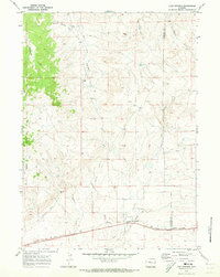
Historical Maps of Lost Springs Through Time
Featured Locations
Source Details
SourceU.S. Geological Survey
CopyrightPublic Domain