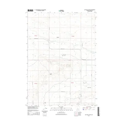
2015 Map of Lost Wells Butte
USGS Topo · Published 2015About this map
Midvale and the surrounding agricultural tracts of Missouri Valley define this portion of Fremont County, where a complex network of irrigation channels supported the high desert landscape. The presence of the Ocean Drain and various lateral channels, such as Lateral P-27.0- D, highlights the intensive water management required for ranching and farming in this arid region. The topography is anchored by Lost Wells Butte, which rises above the drainages of Fivemile Creek and Sand Gulch. This modern survey records the rural road network, including evocatively named routes like Bush-Wacker Rd and Sidewinder Rd, which connect remote homesteads in Paradise Valley to the main thoroughfare of Missouri Valley Rd. Local historians can trace the transition from open range to these irrigated valleys.
Find a feature on this map
33 named features on this map. Tap any name to fly to it.
Don’t see what you’re looking for? This feature index may not catch every label — zoom into the map to look around manually.
Map Details
Editions of this 2015 Lost Wells Butte Map
This is the sole edition of this map. No revisions or reprints were ever made.
Other maps of this area

1950 · Riverton East
USGS Topo · 1:24,000

1950 · Harris Bridge
USGS Topo · 1:24,000

1950 · Mexican Pass SW
USGS Topo · 1:24,000

1950 · Ocean Lake
USGS Topo · 1:24,000

1951 · Mexican Pass SE
USGS Topo · 1:24,000

1951 · Pavillion SE
USGS Topo · 1:24,000

1951 · Riverton West
USGS Topo · 1:24,000

1952 · Riverton NE
USGS Topo · 1:24,000

1952 · Lost Wells Butte
USGS Topo · 1:24,000

1955 · Thermopolis
USGS Topo · 1:250,000