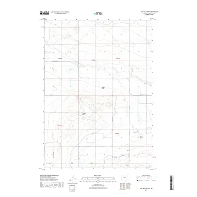
2017 Map of Lost Wells Butte
USGS Topo · Published 2017About this map
Midvale and the surrounding Missouri Valley characterize this high plains landscape in Fremont County, where irrigation infrastructure is essential to the local geography. The map documents an intricate network of water management features, including the long Ocean Drain and various lateral channels like Lateral P-27.0-C and Lateral P-28.2, which branch off to support the valley's agriculture.
Find a feature on this map
38 named features on this map. Tap any name to fly to it.
Don’t see what you’re looking for? This feature index may not catch every label — zoom into the map to look around manually.
Map Details
Editions of this 2017 Lost Wells Butte Map
This is the sole edition of this map. No revisions or reprints were ever made.
Other maps of this area

1950 · Riverton East
USGS Topo · 1:24,000

1950 · Harris Bridge
USGS Topo · 1:24,000

1950 · Mexican Pass SW
USGS Topo · 1:24,000

1950 · Ocean Lake
USGS Topo · 1:24,000

1951 · Mexican Pass SE
USGS Topo · 1:24,000

1951 · Pavillion SE
USGS Topo · 1:24,000

1951 · Riverton West
USGS Topo · 1:24,000

1952 · Riverton NE
USGS Topo · 1:24,000

1952 · Lost Wells Butte
USGS Topo · 1:24,000

1955 · Thermopolis
USGS Topo · 1:250,000