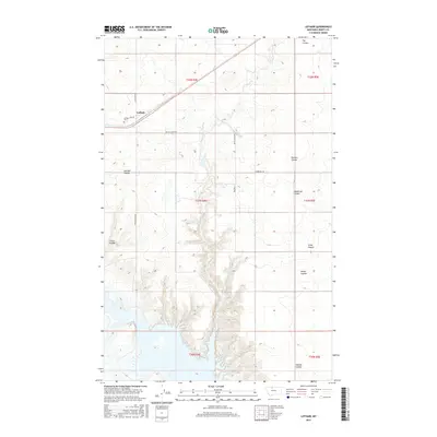
2017 Map of Lothair
USGS Topo · Published 2017About this map
Lothair sits along the northern edge of the Liberty County plains, defined by a sparse settlement pattern and the essential presence of the BNSF Railway. This modern survey reveals a landscape etched by significant drainage features, most notably Eagle Cr, which carves a deep, winding path south through the quadrangle. The town is concentrated near the intersection of Main St and N Lothair Rd, with the Lothair Cem situated just to the southwest.
Find a feature on this map
24 named features on this map. Tap any name to fly to it.
Don’t see what you’re looking for? This feature index may not catch every label — zoom into the map to look around manually.
Map Details
Editions of this 2017 Lothair Map
This is the sole edition of this map. No revisions or reprints were ever made.
Other maps of this area

1954 · Shelby
USGS Topo · 1:250,000

1958 · Shelby
USGS Topo · 1:250,000

1962 · Tiber
USGS Topo · 1:24,000

1962 · North Lothair School
USGS Topo · 1:24,000

1962 · Mc Carters Lake SE
USGS Topo · 1:24,000

1970 · Sagebrush Coulee
USGS Topo · 1:24,000

1970 · Pondera School
USGS Topo · 1:24,000

1970 · Galata
USGS Topo · 1:24,000

1970 · Lothair SW
USGS Topo · 1:24,000
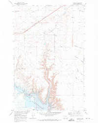
1970 · Lothair
USGS Topo · 1:24,000