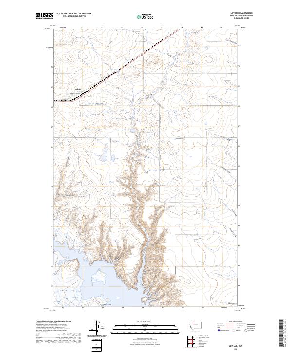
2024 Map of Lothair
USGS Topo · Published 2024About this map
Lothair serves as the primary focal point of this high plains landscape, situated along a prominent transportation corridor where Main St and N Lothair Rd intersect. The settlement's local history is anchored by the Lothair Protestant Cem on its western edge. The surrounding terrain is defined by an intricate network of drainages that carve through the Liberty County topography, most notably Eagle Creek and Willow Creek.
Find a feature on this map
26 named features on this map. Tap any name to fly to it.
Don’t see what you’re looking for? This feature index may not catch every label — zoom into the map to look around manually.
Map Details
Editions of this 2024 Lothair Map
This is the sole edition of this map. No revisions or reprints were ever made.
Other maps of this area

1954 · Shelby
USGS Topo · 1:250,000

1958 · Shelby
USGS Topo · 1:250,000

1962 · Tiber
USGS Topo · 1:24,000

1962 · North Lothair School
USGS Topo · 1:24,000

1962 · Mc Carters Lake SE
USGS Topo · 1:24,000

1970 · Sagebrush Coulee
USGS Topo · 1:24,000

1970 · Pondera School
USGS Topo · 1:24,000

1970 · Galata
USGS Topo · 1:24,000

1970 · Lothair SW
USGS Topo · 1:24,000
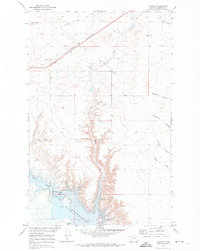
1970 · Lothair
USGS Topo · 1:24,000