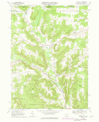
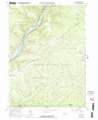
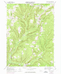
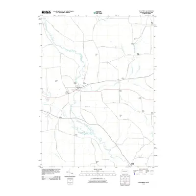
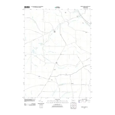
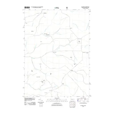
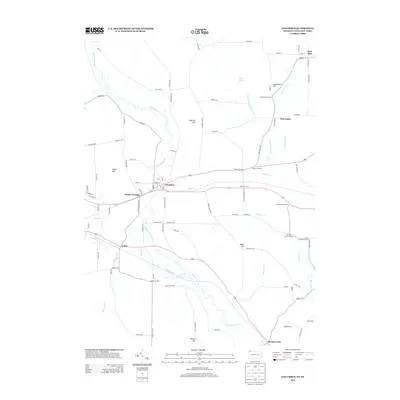
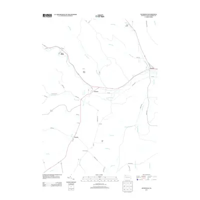
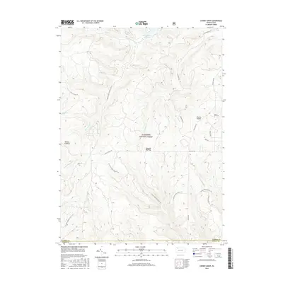
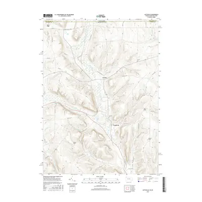
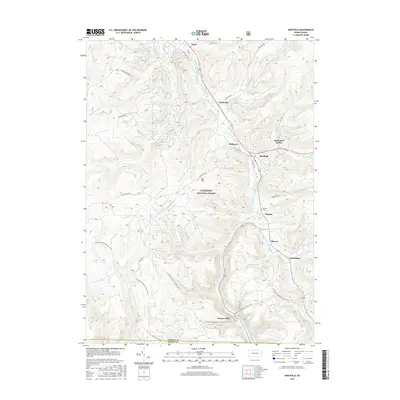
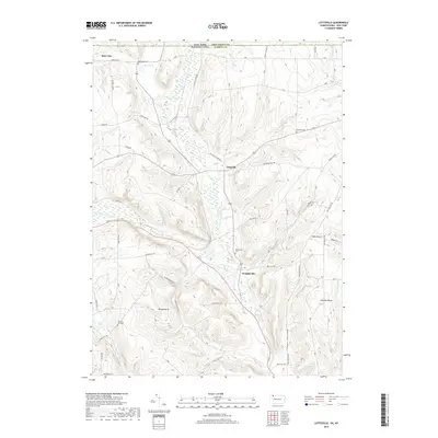
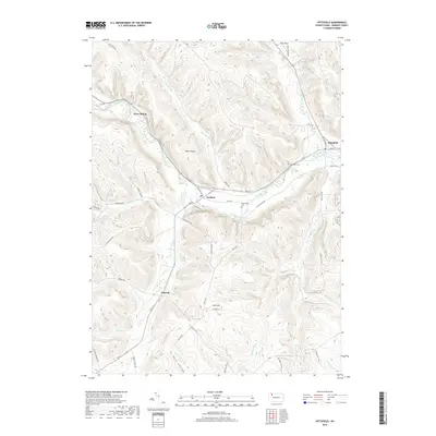
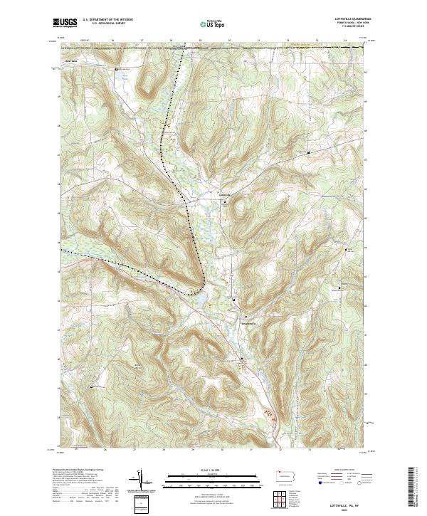
1968 Map of Lottsville
USGS Topo · Published 1976About this map
The Erie-Lackawanna railroad cuts through the northern reaches of the Pennsylvania and New York borderlands, connecting the small settlements of Bear Lake and Benson. This terrain is defined by the winding course of Little Brokenstraw Creek and Brokenstraw Creek, which dictate the placement of local roads and villages. The map reveals a deeply rooted rural landscape, indicated by numerous family-named landmarks and local burial grounds such as Bear Lake Cem, Turnpike Cem, and Wrightsville Cem.
Find a feature on this map
38 named features on this map. Tap any name to fly to it.
Don’t see what you’re looking for? This feature index may not catch every label — zoom into the map to look around manually.
Map Details
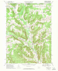
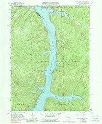
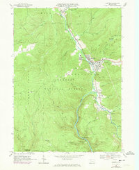
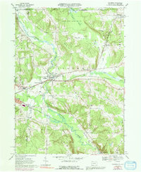
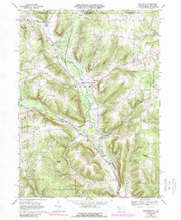
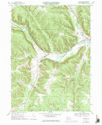
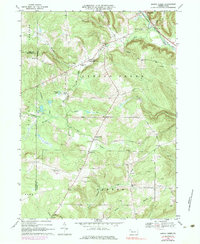
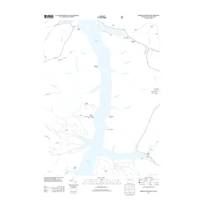
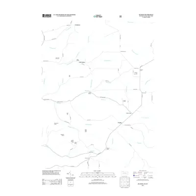
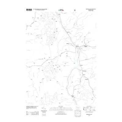
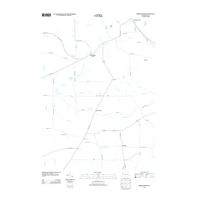
Editions of this 1968 Lottsville Map
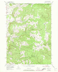
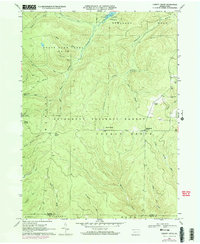
Historical Maps of Busti Through Time
61 maps found

1947 Cherry Grove
Warren County, PA
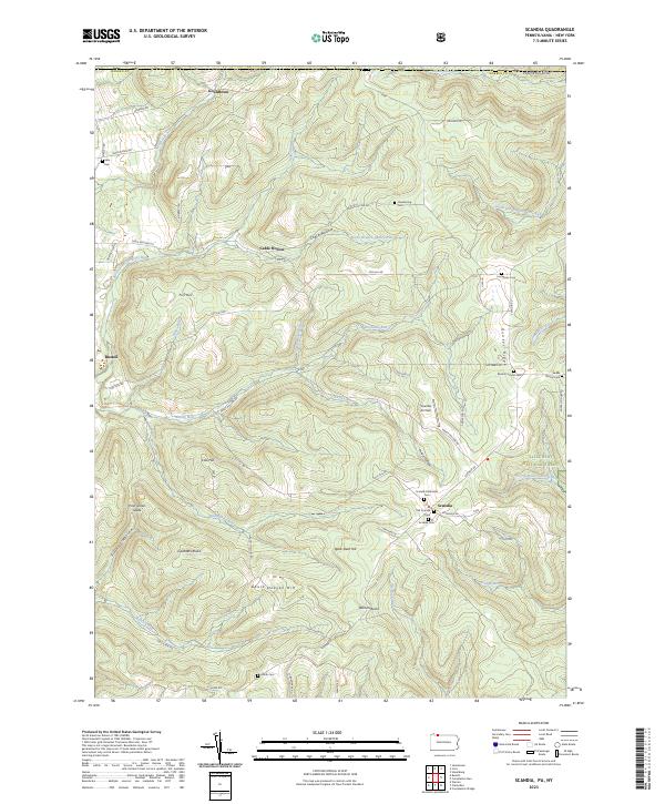
1954 Scandia
Warren County, PA
1966 Cherry Grove
Warren County, PA
1966 Cobham
Warren County, PA
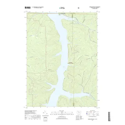
1966 Cornplanter Run
Warren County, PA
1966 Sheffield
Warren County, PA
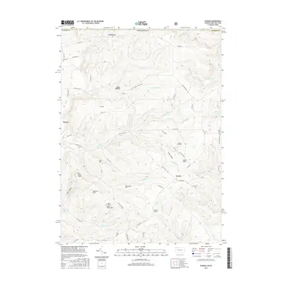
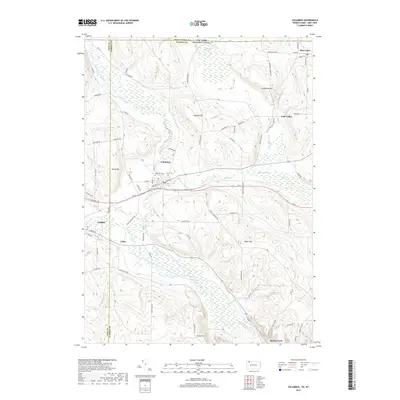
1968 Columbus
Warren County, PA
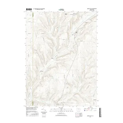
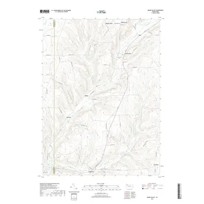
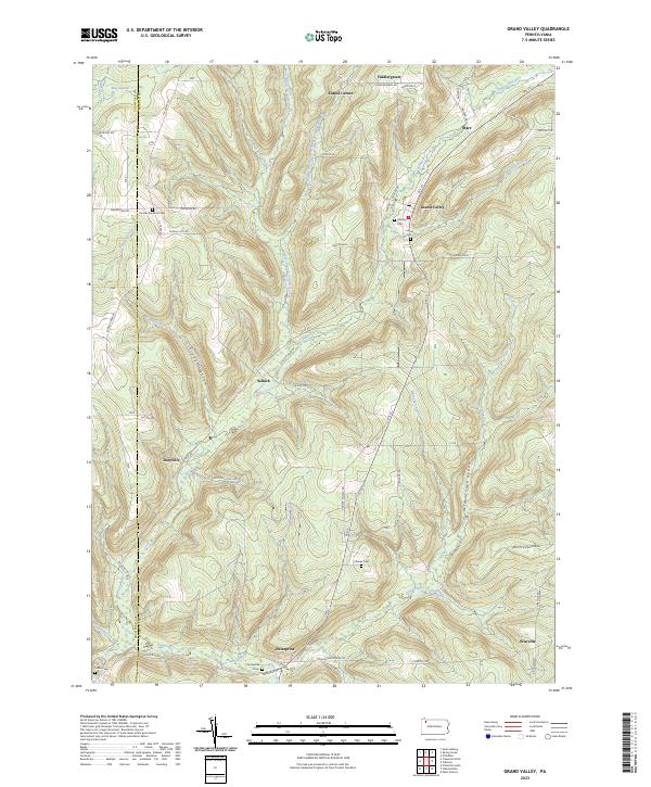
1968 Grand Valley
Warren County, PA
1968 Lottsville
Warren County, PA
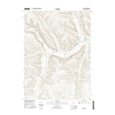
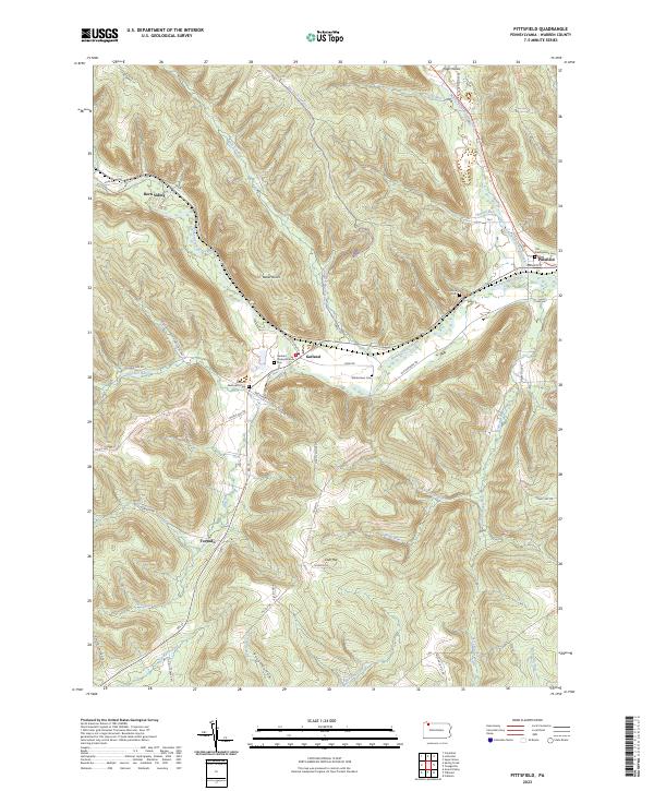
1968 Pittsfield
Warren County, PA
1968 Spring Creek
Warren County, PA
2010 Columbus
Warren County, PA
2010 Grand Valley
Warren County, PA
2010 Lottsville
Warren County, PA
2010 Pittsfield
Warren County, PA
2010 Spring Creek
Warren County, PA
2011 Cherry Grove
Warren County, PA
2011 Cobham
Warren County, PA
2011 Cornplanter Run
Warren County, PA
2011 Scandia
Warren County, PA
2011 Sheffield
Warren County, PA
2013 Cherry Grove
Warren County, PA
2013 Cobham
Warren County, PA
2013 Columbus
Warren County, PA
2013 Cornplanter Run
Warren County, PA
2013 Grand Valley
Warren County, PA
2013 Lottsville
Warren County, PA
2013 Pittsfield
Warren County, PA
2013 Scandia
Warren County, PA
2013 Sheffield
Warren County, PA
2013 Spring Creek
Warren County, PA
2016 Cherry Grove
Warren County, PA
2016 Cobham
Warren County, PA
2016 Columbus
Warren County, PA
2016 Cornplanter Run
Warren County, PA
2016 Grand Valley
Warren County, PA
2016 Lottsville
Warren County, PA
2016 Pittsfield
Warren County, PA
2016 Scandia
Warren County, PA
2016 Sheffield
Warren County, PA
2016 Spring Creek
Warren County, PA
2019 Cherry Grove
Warren County, PA
2019 Cobham
Warren County, PA
2019 Columbus
Warren County, PA
2019 Cornplanter Run
Warren County, PA
2019 Grand Valley
Warren County, PA
2019 Lottsville
Warren County, PA
2019 Pittsfield
Warren County, PA
2019 Scandia
Warren County, PA
2019 Sheffield
Warren County, PA
2019 Spring Creek
Warren County, PA
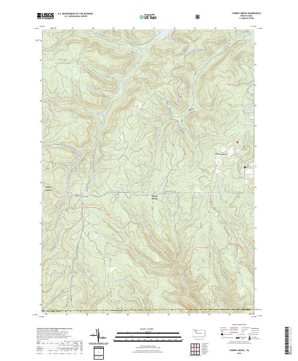
2023 Cherry Grove
Warren County, PA
2023 Cobham
Warren County, PA
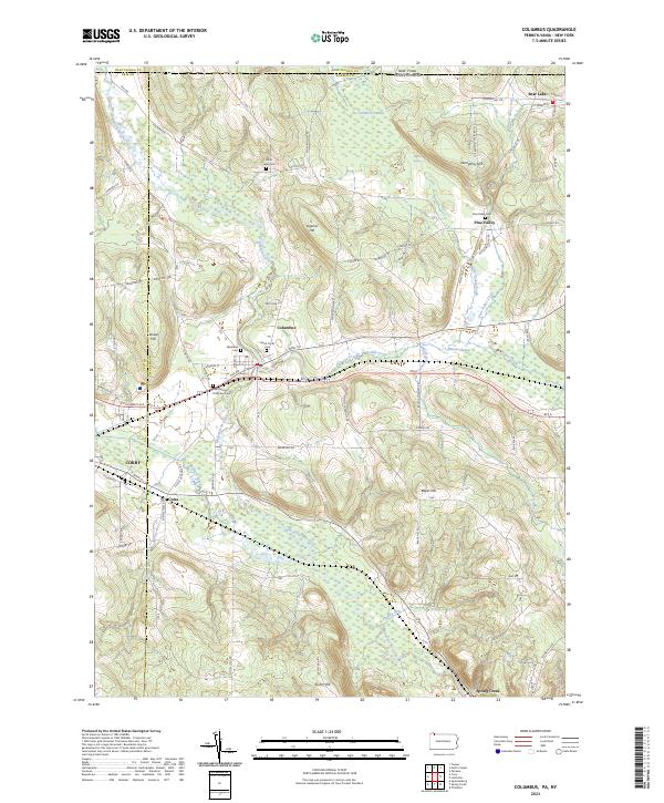
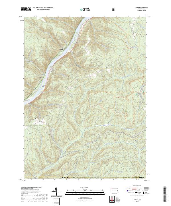
2023 Columbus
Warren County, PA
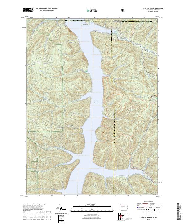
2023 Cornplanter Run
Warren County, PA
2023 Grand Valley
Warren County, PA
2023 Lottsville
Warren County, PA
2023 Pittsfield
Warren County, PA
2023 Scandia
Warren County, PA
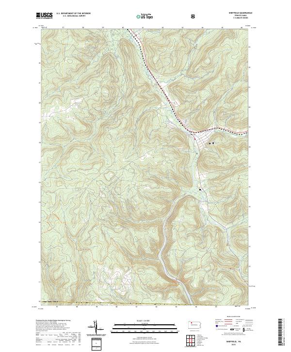
2023 Sheffield
Warren County, PA
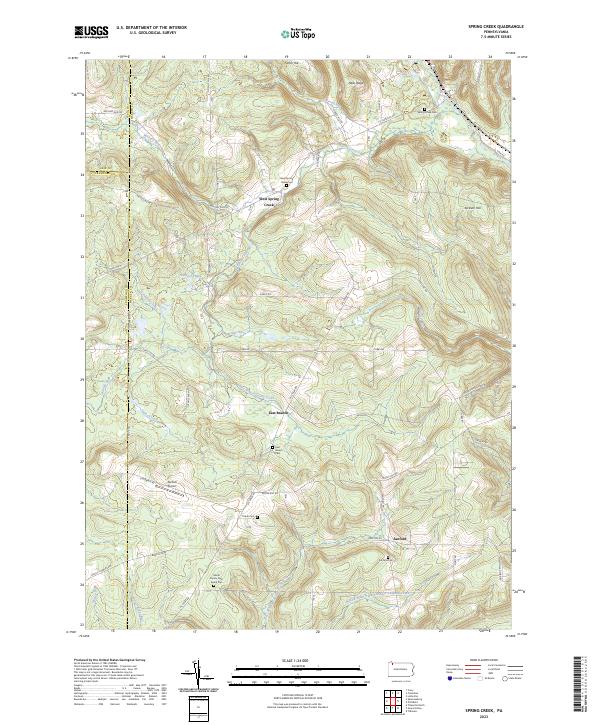
2023 Spring Creek
Warren County, PA