2022 Map of Loudon
USGS Topo · Published 2022About this map
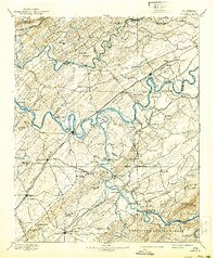
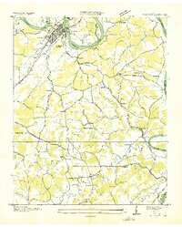
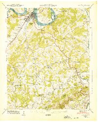
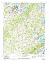
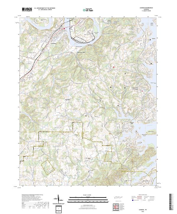
Loudon sits at a prominent bend in the Tennessee River, serving as a focal point for the region's historical navigation and modern development. The landscape is defined by the winding waters of Watts Bar Lake and Tellico Lake, which have reshaped the original river channels at Huff Ferry Bend and Blair Bend. Local history is deeply embedded in the terrain through family-named landmarks like Robinson Mill and Burton Mill, as well as numerous rural burial sites including Davis Cem, Bowman Cem, and Watson Cem.
Find a feature on this map
235 named features on this map. Tap any name to fly to it.
Don’t see what you’re looking for? This feature index may not catch every label — zoom into the map to look around manually.
Map Details
Editions of this 2022 Loudon Map
This is the sole edition of this map. No revisions or reprints were ever made.
Historical Maps of Eve Mills Through Time
5 maps found