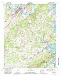
1952 Map of Loudon
USGS Topo · Published 1986About this map
The Loudon riverfront dominates this mid-century landscape, where the Southern Railway and the J. Carmichael Greer Bridge facilitate movement across the Watts Bar Lake portion of the Tennessee River. Significant industrial and civic features like the Loudon Corporation Boundary, the Bacon Hospital, and an Athletic Field mark the town's footprint. The surrounding countryside reveals a dense network of early rural social centers, including the Steekee School, Corinth Church, and New Macedonia Church.
Find a feature on this map
54 named features on this map. Tap any name to fly to it.
Don’t see what you’re looking for? This feature index may not catch every label — zoom into the map to look around manually.
Map Details
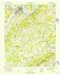
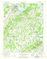
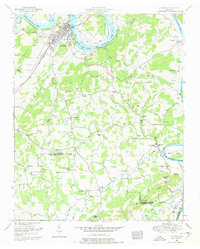
Editions of this 1952 Loudon Map
4 editions found
Other maps of this area

1895 · Loudon
USGS Topo · 1:125,000

1935 · Meadow
USGS Topo · 1:24,000

1935 · Lenoir City
USGS Topo · 1:24,000

1935 · Philadelphia
USGS Topo · 1:24,000
1935 · Vonore
USGS Topo · 1:24,000

1936 · Cave Creek
USGS Topo · 1:24,000
1936 · Madisonville
USGS Topo · 1:24,000
1936 · Sweetwater
USGS Topo · 1:24,000

1936 · Friendship
USGS Topo · 1:48,000

1936 · Loudon
USGS Topo · 1:24,000