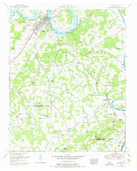
1952 Map of Loudon
USGS Topo · Published 1978About this map
The Loudon riverfront dominates this mid-century landscape, where the Watts Bar Lake portion of the Tennessee River winds past Blair Bend and Carmichael Island. Industrial and civic life in the early 1950s is anchored by the Southern Railway and the Lee Highway, crossing the water via the Loudon Bridge. The presence of the Bacon Hospital and the Gaging station near the bend highlights the town's role as a regional hub before the later decades of suburban expansion.
Find a feature on this map
61 named features on this map. Tap any name to fly to it.
Don’t see what you’re looking for? This feature index may not catch every label — zoom into the map to look around manually.
Map Details
Editions of this 1952 Loudon Map
4 editions found
Other maps of this area

1895 · Loudon
USGS Topo · 1:125,000

1935 · Meadow
USGS Topo · 1:24,000

1935 · Lenoir City
USGS Topo · 1:24,000

1935 · Philadelphia
USGS Topo · 1:24,000
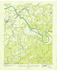
1935 · Vonore
USGS Topo · 1:24,000

1936 · Cave Creek
USGS Topo · 1:24,000
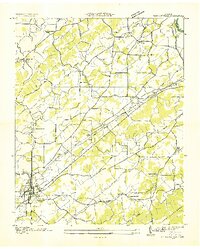
1936 · Madisonville
USGS Topo · 1:24,000
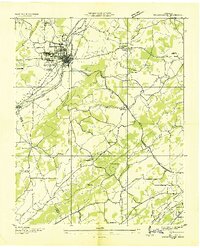
1936 · Sweetwater
USGS Topo · 1:24,000

1936 · Friendship
USGS Topo · 1:48,000

1936 · Loudon
USGS Topo · 1:24,000