Loading...
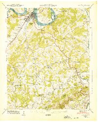
Loading map...1940 Map of Loudon
USGS Topo · Published 1940About this map
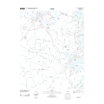
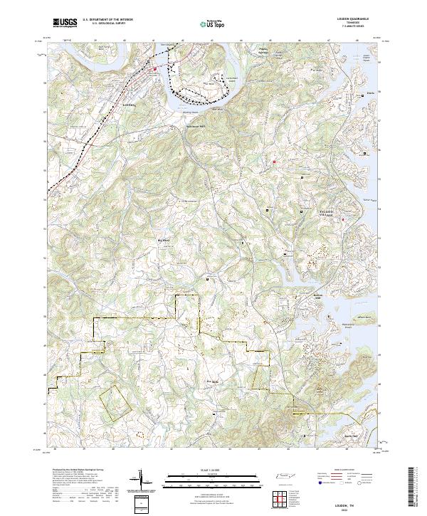
Loudon serves as the focal point of this 1940 survey, situated where the Lee Highway and the Southern railroad cross the Tennessee River. The landscape is in a state of transition as the Watts Bar Res begins to influence the river valley, though traditional river crossings like Huff Ferry and Blair Ferry are still noted alongside the modern Toll Bridge.
Find a feature on this map
58 named features on this map. Tap any name to fly to it.
Don’t see what you’re looking for? This feature index may not catch every label — zoom into the map to look around manually.
Map Details
Date Portrayed1940
Date Published1940
PublisherU.S. Geological Survey
Map TypeTopographic
Scale1:24,000
Physical Dimensions22.04 x 27.45 inches
Editions of this 1940 Loudon Map
This is the sole edition of this map. No revisions or reprints were ever made.
Historical Maps of Tellico Village Through Time
9 maps found
Featured Locations
Source Details
SourceU.S. Geological Survey
CopyrightPublic Domain