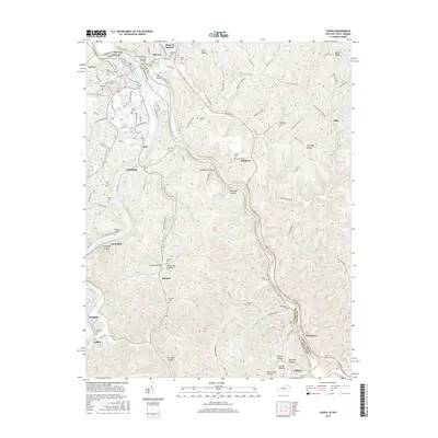
2016 Map of Louisa
USGS Topo · Published 2016About this map
The confluence of the Levisa Fork and the Tug Fork forms the Big Sandy River at The Point, a geographic anchor where Louisa, Kentucky, meets Fort Gay, West Virginia. This borderland is defined by narrow valley floors and steep ridges, such as Pine Ridge and Bromley Ridge, which dictated the pattern of early settlements and transportation. The Louisa and Fort Gay Bridge links the two communities, while small unincorporated settlements like Saltpetre, Glenhayes, and Holt follow the river bends and creek beds.
Find a feature on this map
99 named features on this map. Tap any name to fly to it.
Don’t see what you’re looking for? This feature index may not catch every label — zoom into the map to look around manually.
Map Details
Editions of this 2016 Louisa Map
This is the sole edition of this map. No revisions or reprints were ever made.
Other maps of this area

1886 · Prestonsburg
USGS Topo · 1:125,000

1887 · Warfield
USGS Topo · 1:125,000

1891 · Warfield
USGS Topo · 1:125,000

1892 · Prestonsburg
USGS Topo · 1:125,000

1892 · Huntington
USGS Topo · 1:125,000

1898 · Huntington
USGS Topo · 1:125,000

1903 · Kenova
USGS Topo · 1:125,000

1904 · Kenova
USGS Topo · 1:125,000
1909 · Wayne
USGS Topo · 1:62,500
1910 · Naugatuck
USGS Topo · 1:48,000