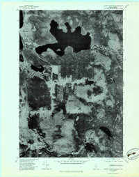
1977 Map of Louise Mountain
USGS Topo · Published 1983About this map
Saint-Augustin-De-Woburn and the surrounding borderlands are captured in this orthophotographic study, which utilizes aerial imagery from October 1977 to document the dense forests and wetlands of Franklin County. The landscape is defined by significant water bodies, most notably the expansive Lac Aux Araignées and the southern reaches of Lac Megantic. This specific type of mapping emphasizes the texture of the terrain, showing the precise distribution of timber and the complex drainage patterns of the Riviere Aux Araignées as it meanders through the northeast.
Find a feature on this map
11 named features on this map. Tap any name to fly to it.
Don’t see what you’re looking for? This feature index may not catch every label — zoom into the map to look around manually.
Map Details
Editions of this 1977 Louise Mountain Map
This is the sole edition of this map. No revisions or reprints were ever made.
Other maps of this area

1928 · Chain Lakes
USGS Topo · 1:48,000

1928 · Skinner
USGS Topo · 1:48,000

1931 · Skinner
USGS Topo · 1:62,500

1932 · Arnold Pond
USGS Topo · 1:48,000

1932 · Chain Lakes
USGS Topo · 1:62,500

1935 · Chain Lakes
USGS Topo · 1:62,500

1935 · Arnold Pond
USGS Topo · 1:62,500

1949 · Jackman
USGS Topo · 1:250,000
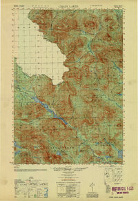
1951 · Chain Lakes
USGS Topo · 1:50,000

1963 · Jackman
USGS Topo · 1:250,000