Loading...
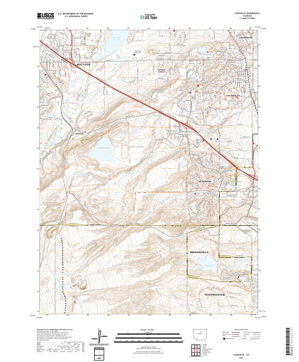
Loading map...2022 Map of Louisville
USGS Topo · Published 2022About this map
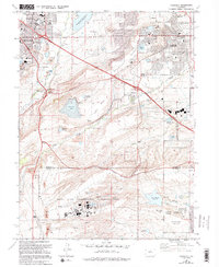
Davidson Mesa and the elevated plateau of Lake Mesa dominate this modern landscape where Boulder County and Jefferson County converge. The complex water management system of the Front Range is highly visible, featuring an intricate network of irrigation channels like the Marshallville Ditch, Community Ditch, and Goodhue Ditch that feed into significant catchments such as Marshall Lake and Great Western Reservoir.
Find a feature on this map
108 named features on this map. Tap any name to fly to it.
Don’t see what you’re looking for? This feature index may not catch every label — zoom into the map to look around manually.
Map Details
Date Portrayed2022
Date Published2022
PublisherU.S. Geological Survey
Map TypeTopographic
Scale1:24000
Physical Dimensions24 x 29 inches
Editions of this 2022 Louisville Map
This is the sole edition of this map. No revisions or reprints were ever made.
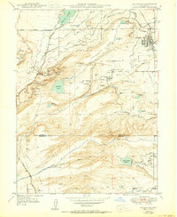
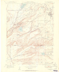
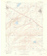
Historical Maps of Paragon Estates Through Time
5 maps found
Featured Locations
Source Details
SourceU.S. Geological Survey
CopyrightPublic Domain