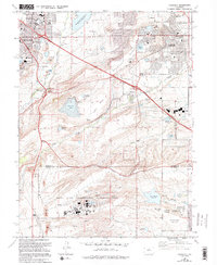
1965 Map of Louisville
USGS Topo · Published 1994About this map
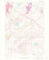
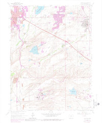
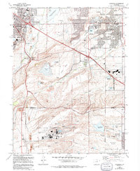
Davidson Mesa dominates the central landscape of this 1965 survey, bridging the gap between the expanding residential fringes of Boulder and the coal-mining heritage of Louisville. To the south, the massive Rocky Flats Environmental Technology Site occupies a significant portion of the high plains, situated between Woman Creek and Walnut Creek. This industrial presence contrasts sharply with the nearby Marshall Lake and the agricultural legacy represented by the complex network of the Community Ditch and Goodhue Ditch. The map details a period of suburban transition, showing established schools like Fairview High Sch alongside older landmarks such as Sacred Heart Ch. The industrial footprint of the region is evident through numerous Gravel Pits and Claypits scattered across Rocky Flats, marking the area's geological utility during the mid-20th century.
Find a feature on this map
69 named features on this map. Tap any name to fly to it.
Don’t see what you’re looking for? This feature index may not catch every label — zoom into the map to look around manually.
Map Details
Editions of this 1965 Louisville Map
7 editions found
Other maps of this area

1899 · West Denver
USGS Topo · 1:125,000

1902 · Boulder
USGS Topo · 1:62,500

1904 · Niwot
USGS Topo · 1:62,500

1904 · Boulder
USGS Topo · 1:62,500

1906 · Blackhawk
USGS Topo · 1:62,500

1939 · Golden
USGS Topo · 1:24,000

1940 · Lafayette
USGS Topo · 1:31,680

1941 · Arvada
USGS Topo · 1:31,680

1942 · Eldorado Springs
USGS Topo · 1:24,000

1942 · Golden
USGS Topo · 1:31,680