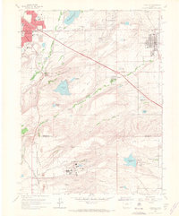
1965 Map of Louisville
USGS Topo · Published 1967About this map
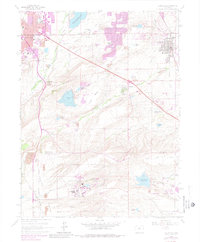
The U S Atomic Energy Commission (Rocky Flats Plant) dominates the southern plateau of this 1965 survey, marking a significant era of Cold War industrial presence in the region. The landscape transitions from the residential expansions of Boulder and Louisville to the technical and industrial zones of the Denver and Rio Grande Western corridor. Key community landmarks such as Sacred Heart Ch and the Superior Cem are visible alongside local education hubs like Southern Hills Jr High Sch.
Find a feature on this map
52 named features on this map. Tap any name to fly to it.
Don’t see what you’re looking for? This feature index may not catch every label — zoom into the map to look around manually.
Map Details
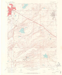
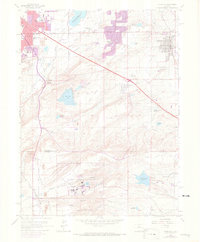
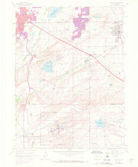
Editions of this 1965 Louisville Map
7 editions found
Other maps of this area

1899 · West Denver
USGS Topo · 1:125,000

1902 · Boulder
USGS Topo · 1:62,500

1904 · Niwot
USGS Topo · 1:62,500

1904 · Boulder
USGS Topo · 1:62,500

1906 · Blackhawk
USGS Topo · 1:62,500

1939 · Golden
USGS Topo · 1:24,000

1940 · Lafayette
USGS Topo · 1:31,680

1941 · Arvada
USGS Topo · 1:31,680

1942 · Eldorado Springs
USGS Topo · 1:24,000

1942 · Golden
USGS Topo · 1:31,680