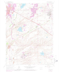
1965 Map of Louisville
USGS Topo · Published 1980About this map
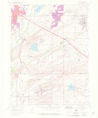
The industrial and scientific landscape south of Boulder comes into focus in this late-1970s revision. The most significant feature is the Rocky Flats Plant of the U S Department of Energy, situated on the windswept Rocky Flats plateau. This facility, flanked by Woman Creek and Walnut Creek, stands in stark contrast to the emerging residential developments of Paragon Estates and Majestic Heights. The map records a transition from traditional mining and agriculture toward high-tech federal industry and suburban expansion.
Find a feature on this map
48 named features on this map. Tap any name to fly to it.
Don’t see what you’re looking for? This feature index may not catch every label — zoom into the map to look around manually.
Map Details
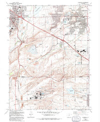
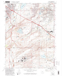
Editions of this 1965 Louisville Map
7 editions found
Other maps of this area

1899 · West Denver
USGS Topo · 1:125,000

1902 · Boulder
USGS Topo · 1:62,500

1904 · Niwot
USGS Topo · 1:62,500

1904 · Boulder
USGS Topo · 1:62,500

1906 · Blackhawk
USGS Topo · 1:62,500

1939 · Golden
USGS Topo · 1:24,000

1940 · Lafayette
USGS Topo · 1:31,680

1941 · Arvada
USGS Topo · 1:31,680

1942 · Eldorado Springs
USGS Topo · 1:24,000

1942 · Golden
USGS Topo · 1:31,680