1973 Map of Louisville South
USGS Topo · Published 1976About this map
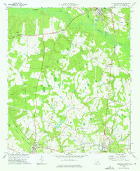
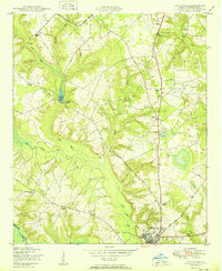
Central of Georgia rail lines anchor the southern landscape of this 1970s survey, connecting the rural communities of Wadley and Bartow. The terrain is defined by the broad, meandering Ogeechee River and its complex network of tributaries, including Rocky Comfort Creek and Williamson Swamp Creek. This area of Jefferson County is notable for its dense concentration of rural spiritual centers, with landmarks such as Ebenezer Church, Old Bethel Church, and Pierce Grove Church serving as focal points for the surrounding agricultural community. On the northern edge, the edge of Louisville marks the regional center, while the Jefferson Lookout Tower and Louisville Municipal Airport stand as modern infrastructure within a landscape otherwise dominated by family cemeteries like Plunkett Cemetery and Bentley Cemetery.
Find a feature on this map
44 named features on this map. Tap any name to fly to it.
Don’t see what you’re looking for? This feature index may not catch every label — zoom into the map to look around manually.
Map Details
Editions of this 1973 Louisville South Map
2 editions found
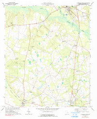
Other maps of this area

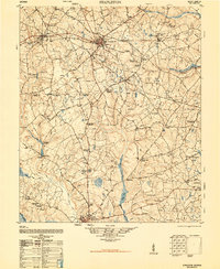
1920 · Stapleton
USGS Topo · 1:62,500
1948 · Stapleton
USGS Topo · 1:62,500
1948 · Louisville
USGS Topo · 1:24,000
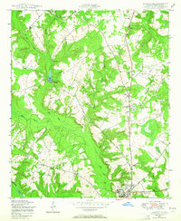
1950 · Louisville
USGS Topo · 1:24,000
1950 · Kellys Pond
USGS Topo · 1:24,000

1953 · Athens
USGS Topo · 1:250,000

1957 · Macon
USGS Topo · 1:250,000

1958 · Macon
USGS Topo · 1:250,000

1958 · Athens
USGS Topo · 1:250,000

1959 · Athens
USGS Topo · 1:250,000