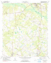
1973 Map of Louisville South
USGS Topo · Published 1991About this map
The Ogeechee River and Rocky Comfort Creek define the northern reaches of this Jefferson County landscape, where the town of Louisville sits at a historic crossroads. This 1973 survey details a rural economy transitioning into the late twentieth century, anchored by the Central of Georgia railroad corridor passing through Bartow and Wadley. The map is particularly rich for genealogical research, identifying numerous country churches and burial grounds such as Ebenezer Ch, Parkers Ch, and Pierce Grove Cem.
Find a feature on this map
43 named features on this map. Tap any name to fly to it.
Don’t see what you’re looking for? This feature index may not catch every label — zoom into the map to look around manually.
Map Details
Editions of this 1973 Louisville South Map
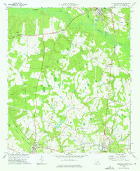
2 editions found
Other maps of this area

1920 · Stapleton
USGS Topo · 1:62,500

1948 · Stapleton
USGS Topo · 1:62,500

1948 · Louisville
USGS Topo · 1:24,000

1950 · Louisville
USGS Topo · 1:24,000

1950 · Kellys Pond
USGS Topo · 1:24,000

1953 · Athens
USGS Topo · 1:250,000

1957 · Macon
USGS Topo · 1:250,000

1958 · Macon
USGS Topo · 1:250,000

1958 · Athens
USGS Topo · 1:250,000

1959 · Athens
USGS Topo · 1:250,000