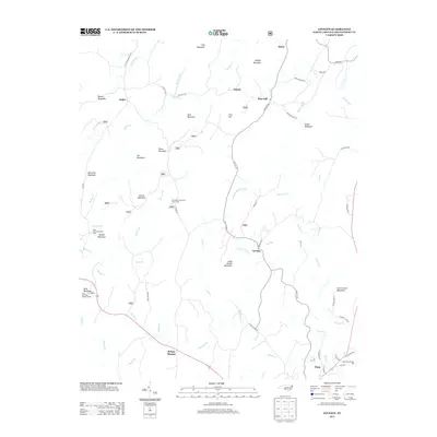
2013 Map of Lovejoy
USGS Topo · Published 2013About this map
Bunnel Mountain and Morris Mountain dominate this part of the Uwharrie Mountains, where a network of small settlements and forest camps defines the rural character of Montgomery County. The landscape is marked by a series of prominent peaks, including Jenny Wright Mountain and Dark Mountain, separated by drainage systems like Poison Fork and Dumas Cr. Human activity is concentrated along the winding routes of Love Joy Rd and Flint Hill Rd, connecting established communities like Immer, Ophir, and Flint Hill. Of particular note are the specialized sites reflecting varied uses of the mountain terrain, from the Buck Mountain Lookout Tower in the southwest to the State Prison Camp 804 and the residential streets of Troy in the southeast. Recreation and conservation are evident through the West Morris Mountain Camp and East Morris Mountain Hunt Camp, nestled within the timbered uplands.
Find a feature on this map
73 named features on this map. Tap any name to fly to it.
Don’t see what you’re looking for? This feature index may not catch every label — zoom into the map to look around manually.
Map Details
Editions of this 2013 Lovejoy Map
This is the sole edition of this map. No revisions or reprints were ever made.
Other maps of this area

1942 · Troy
USGS Topo · 1:125,000

1953 · Raleigh
USGS Topo · 1:250,000

1953 · Charlotte
USGS Topo · 1:250,000

1954 · Charlotte
USGS Topo · 1:250,000

1954 · Raleigh
USGS Topo · 1:250,000

1957 · Albemarle
USGS Topo · 1:62,500

1957 · Denton
USGS Topo · 1:62,500

1957 · Troy
USGS Topo · 1:62,500

1957 · Asheboro
USGS Topo · 1:62,500

1960 · Charlotte
USGS Topo · 1:250,000