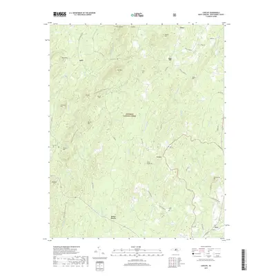
2019 Map of Lovejoy
USGS Topo · Published 2019About this map
The Uwharrie National Forest dominates this section of Montgomery County, where a series of prominent peaks and watercourses define the landscape. The Uwharrie National Recreation Trail winds through the western portion, passing landmarks such as Bunnel Mtn, Joe Mtn, and Round Mtn. Small settlements and missions are scattered across the forest's edge, including Ophir to the northwest and Refuge Mission to the south. This terrain is characterized by a dense network of branches and creeks, such as Barnes Cr and Dumas Cr, which drain the ridges surrounding peaks like Jenny Wright Mtn and Wysner Mtn.
Find a feature on this map
71 named features on this map. Tap any name to fly to it.
Don’t see what you’re looking for? This feature index may not catch every label — zoom into the map to look around manually.
Map Details
Editions of this 2019 Lovejoy Map
This is the sole edition of this map. No revisions or reprints were ever made.
Other maps of this area

1942 · Troy
USGS Topo · 1:125,000

1953 · Raleigh
USGS Topo · 1:250,000

1953 · Charlotte
USGS Topo · 1:250,000

1954 · Charlotte
USGS Topo · 1:250,000

1954 · Raleigh
USGS Topo · 1:250,000

1957 · Albemarle
USGS Topo · 1:62,500

1957 · Denton
USGS Topo · 1:62,500

1957 · Troy
USGS Topo · 1:62,500

1957 · Asheboro
USGS Topo · 1:62,500

1960 · Charlotte
USGS Topo · 1:250,000