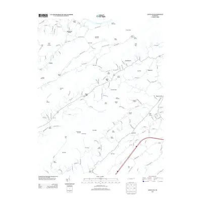
2013 Map of Lovelace
USGS Topo · Published 2013About this map
McPheeter Bend sits prominently along the northern edge of this landscape, where the Holston River valley transitions into the ridge-and-valley topography characteristic of Sullivan County. The map documents a rural corridor defined by high peaks like Chimneytop Mountain and Canebrake Mountain, which channel local movement through historic passages such as Blair Gap and Smith Gap. Small settlements and crossroads like Conkintown, Harbour, and Lovelace are scattered throughout the valleys, often positioned near critical water sources like Walker Fork or Beech Cr.
Find a feature on this map
149 named features on this map. Tap any name to fly to it.
Don’t see what you’re looking for? This feature index may not catch every label — zoom into the map to look around manually.
Map Details
Editions of this 2013 Lovelace Map
This is the sole edition of this map. No revisions or reprints were ever made.
Other maps of this area

1892 · Greeneville
USGS Topo · 1:125,000

1894 · Estillville
USGS Topo · 1:125,000

1896 · Greeneville
USGS Topo · 1:125,000

1904 · Greeneville
USGS Topo · 1:125,000
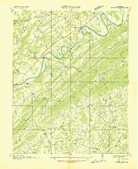
1935 · Surgoinsville
USGS Topo · 1:48,000
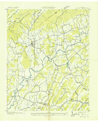
1935 · Baileyton
USGS Topo · 1:24,000
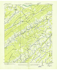
1935 · Lovelace
USGS Topo · 1:24,000
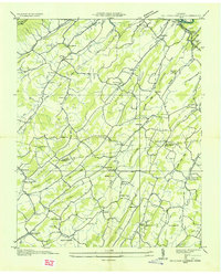
1935 · Sullivan Gardens
USGS Topo · 1:24,000
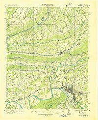
1935 · Moggasin
USGS Topo · 1:48,000
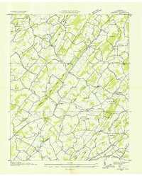
1935 · Leesburg
USGS Topo · 1:24,000