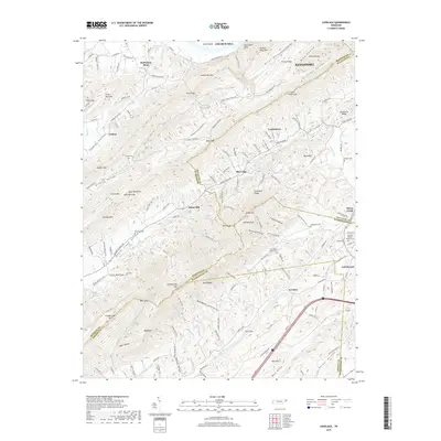
2019 Map of Lovelace
USGS Topo · Published 2019About this map
Bays Mountain and Chimneytop Mtn dominate the landscape of this region where four East Tennessee counties—Hawkins, Sullivan, Washington, and Greene—converge. The settlement pattern follows the narrow valley floors, most notably along Beech Creek Valley and Grassy Valley. Small communities like Goshen, Lovelace, and Fall Branch serve as focal points for a rural road network that weaves through gaps such as Wolf Pen Gap and Smith Gap.
Find a feature on this map
160 named features on this map. Tap any name to fly to it.
Don’t see what you’re looking for? This feature index may not catch every label — zoom into the map to look around manually.
Map Details
Editions of this 2019 Lovelace Map
This is the sole edition of this map. No revisions or reprints were ever made.
Other maps of this area

1892 · Greeneville
USGS Topo · 1:125,000

1894 · Estillville
USGS Topo · 1:125,000

1896 · Greeneville
USGS Topo · 1:125,000

1904 · Greeneville
USGS Topo · 1:125,000

1935 · Surgoinsville
USGS Topo · 1:48,000

1935 · Baileyton
USGS Topo · 1:24,000

1935 · Lovelace
USGS Topo · 1:24,000

1935 · Sullivan Gardens
USGS Topo · 1:24,000

1935 · Moggasin
USGS Topo · 1:48,000

1935 · Leesburg
USGS Topo · 1:24,000