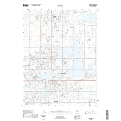
2019 Map of Loveland
USGS Topo · Published 2019About this map
Loveland and the southern edge of Fort Collins dominate this Larimer County landscape, revealing a complex web of water management and recreation. The geography is defined by an extensive system of reservoirs and irrigation works, including the large Boyd Lake and Lake Loveland, alongside smaller bodies like Equalizer Lake and Robert Benson Lake. These are connected by a network of historic water ways such as the Louden Ditch, Big Barnes Ditch, and Farmers Ditch, which redirect the flow of the Big Thompson River for agricultural and municipal use.
Find a feature on this map
68 named features on this map. Tap any name to fly to it.
Don’t see what you’re looking for? This feature index may not catch every label — zoom into the map to look around manually.
Map Details
Editions of this 2019 Loveland Map
This is the sole edition of this map. No revisions or reprints were ever made.
Other maps of this area

1902 · Greeley
USGS Topo · 1:125,000

1906 · Loveland
USGS Topo · 1:62,500

1906 · Fort Collins
USGS Topo · 1:62,500

1907 · Livermore
USGS Topo · 1:125,000

1908 · Loveland
USGS Topo · 1:62,500

1908 · Fort Collins
USGS Topo · 1:62,500

1908 · Eaton
USGS Topo · 1:125,000

1909 · Livermore
USGS Topo · 1:125,000

1910 · Eaton
USGS Topo · 1:125,000

1950 · Windsor
USGS Topo · 1:24,000