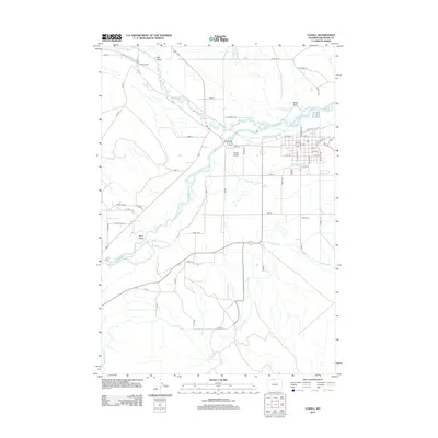
2012 Map of Lovell
USGS Topo · Published 2012About this map
The Shoshone River dictates the landscape of this Wyoming region, carving through the high desert where an intricate network of irrigation systems supports the community. Major arterial waterways like the Elk Lovell Canal, Sidon Canal, and Lovell Canal weave across the terrain, illustrating the critical role of water management in Big Horn County. North of the town center, Cowley Siding stands as a marker of the area's transportation history, while the sprawling Lovell Cem serves as a significant site for genealogical research. The map also captures the distinct natural drainage patterns of the Bighorn Basin, including Foster Gulch, Black Draw, and Sand Draw, alongside tributaries such as Sage Creek and Peterson Creek.
Find a feature on this map
57 named features on this map. Tap any name to fly to it.
Don’t see what you’re looking for? This feature index may not catch every label — zoom into the map to look around manually.
Map Details
Editions of this 2012 Lovell Map
This is the sole edition of this map. No revisions or reprints were ever made.
Other maps of this area

1955 · Cody
USGS Topo · 1:250,000

1958 · Cody
USGS Topo · 1:250,000

1962 · Cody
USGS Topo · 1:250,000

1964 · Lovell Lakes
USGS Topo · 1:24,000

1964 · Sykes Spring
USGS Topo · 1:24,000

1966 · Gilmore Hill NE
USGS Topo · 1:24,000

1966 · North Emblem Reservoir
USGS Topo · 1:24,000

1966 · Frannie
USGS Topo · 1:24,000

1966 · Cowley
USGS Topo · 1:24,000

1966 · Jack Horner Reservoir
USGS Topo · 1:24,000