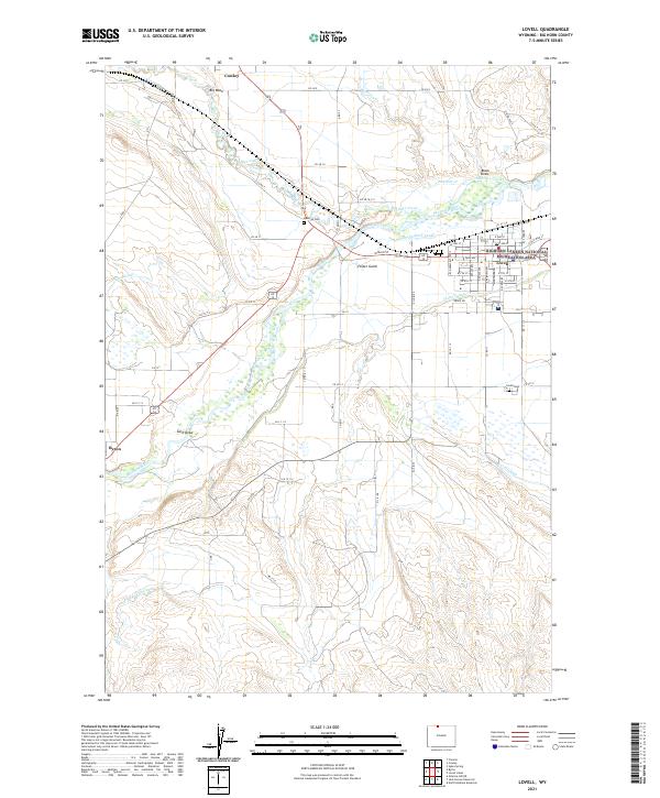
2021 Map of Lovell
USGS Topo · Published 2021About this map
Lovell and its neighboring towns of Cowley and Byron are defined by a complex network of man-made waterways that sustain life in this arid Big Horn County landscape. The Shoshone River serves as the primary artery for the region, feeding an intricate system of irrigation including the Hunt-Godfrey Canal, Sidon Canal, and the Elk-Lovell Canal. These engineering feats reflect the region's agricultural dependency and long history of water management. To the north, the boundary of the Bighorn Canyon National Recreation Area begins, marking the transition into protected lands. Local history is anchored at the Mexican Cem and Lovell Cem, while the town centers are meticulously mapped with named streets like Great Western Ave and W Main St, showing the residential development patterns in the early 21st century.
Find a feature on this map
53 named features on this map. Tap any name to fly to it.
Don’t see what you’re looking for? This feature index may not catch every label — zoom into the map to look around manually.
Map Details
Editions of this 2021 Lovell Map
This is the sole edition of this map. No revisions or reprints were ever made.
Other maps of this area

1955 · Cody
USGS Topo · 1:250,000

1958 · Cody
USGS Topo · 1:250,000

1962 · Cody
USGS Topo · 1:250,000

1964 · Lovell Lakes
USGS Topo · 1:24,000

1964 · Sykes Spring
USGS Topo · 1:24,000

1966 · Gilmore Hill NE
USGS Topo · 1:24,000

1966 · North Emblem Reservoir
USGS Topo · 1:24,000

1966 · Frannie
USGS Topo · 1:24,000

1966 · Cowley
USGS Topo · 1:24,000

1966 · Jack Horner Reservoir
USGS Topo · 1:24,000