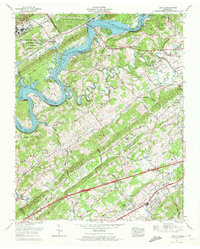
1968 Map of Lovell
USGS Topo · Published 1972About this map
Melton Hill Lake dominates the western corridor of this Knox County landscape, where the Clinch River carves a deep, winding path through a series of prominent ridges. The transition from rural valley life to suburban development is evident as the Louisville and Nashville Railroad and U.S. Highway 11 and 70 cut through the southern reaches, passing through established communities like Farragut and Campbell Station.
Find a feature on this map
75 named features on this map. Tap any name to fly to it.
Don’t see what you’re looking for? This feature index may not catch every label — zoom into the map to look around manually.
Map Details
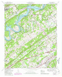
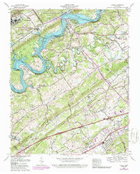
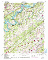
Editions of this 1968 Lovell Map
4 editions found
Other maps of this area

1893 · Briceville
USGS Topo · 1:125,000

1895 · Loudon
USGS Topo · 1:125,000

1895 · Briceville
USGS Topo · 1:125,000

1896 · Briceville
USGS Topo · 1:125,000

1935 · Lenoir City
USGS Topo · 1:24,000

1935 · Bethel Valley
USGS Topo · 1:24,000

1935 · Bearden
USGS Topo · 1:24,000

1935 · Lovell
USGS Topo · 1:24,000

1936 · Louisville
USGS Topo · 1:24,000

1936 · Windrock
USGS Topo · 1:24,000