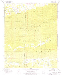
1958 Map of Loving
USGS Topo · Published 1977About this map
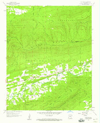
Walker Mountain dominates the topography of this borderland area, where the Ouachita National Forest spans the state line between Oklahoma and Arkansas. This 1958 field-checked survey reveals a landscape defined by its watercourses and isolated rural communities. The settlement of Loving is situated in the northwest corner near the Poteau River, while further south, the Black Fork valley contains the Black Fork Cemetery. The cartography illustrates a period of established but sparse settlement, characterized by small churches and family-named cemeteries. Features like the Haws Creek Ch and the neighboring Puryear settlement are linked by unimproved roads that follow the natural contours of the mountain slopes and creek beds, including Cane Creek and Cedar Creek. The drainage patterns, particularly Haws Creek and Dry Branch, indicate the complex terrain and remote nature of the Scott County highlands during the mid-20th century.
Find a feature on this map
23 named features on this map. Tap any name to fly to it.
Don’t see what you’re looking for? This feature index may not catch every label — zoom into the map to look around manually.
Map Details
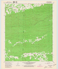
Editions of this 1958 Loving Map
3 editions found
Other maps of this area

1887 · Poteau Mountain #2
USGS Topo · 1:62,500

1890 · Poteau Mountain
USGS Topo · 1:125,000

1899 · Poteau Mountain
USGS Topo · 1:125,000

1900 · Winding Stair
USGS Topo · 1:125,000

1909 · Winding Stair
USGS Topo · 1:125,000

1950 · Mcalester
USGS Topo · 1:250,000
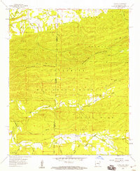
1958 · Loving
USGS Topo · 1:24,000
1958 · Bates
USGS Topo · 1:62,500

1958 · Potter
USGS Topo · 1:62,500
1958 · Cauthron
USGS Topo · 1:24,000