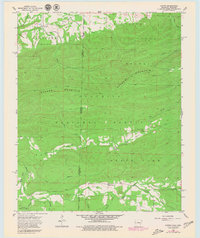
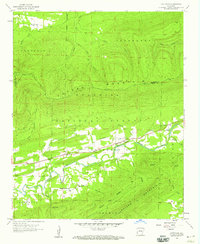
1958 Map of Loving
USGS Topo · Published 1979About this map
Walker Mountain dominates this survey of the Oklahoma-Arkansas borderlands, dividing the landscape between the Poteau River valley to the north and the deep drainages of the Ouachita National Forest to the south. In the late 1950s, the settlement of Loving served as a local hub near the Loving Cemetery, while smaller clusters like Puryear and Black Fork followed the winding path of Black Fork Creek. The geography here is defined by high ridgelines and numerous mountain streams such as Haws Creek, where the Haws Creek Church provided a center for the rural community. This survey provides a precise look at the mid-century road network and forest boundaries before later developments, specifically documenting the remote interfaces between Le Flore County, Oklahoma, and Scott County, Arkansas.
Find a feature on this map
27 named features on this map. Tap any name to fly to it.
Don’t see what you’re looking for? This feature index may not catch every label — zoom into the map to look around manually.
Map Details
Editions of this 1958 Loving Map
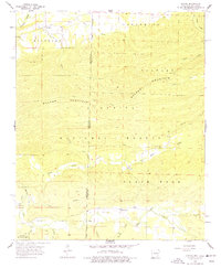
3 editions found
Other maps of this area

1887 · Poteau Mountain #2
USGS Topo · 1:62,500

1890 · Poteau Mountain
USGS Topo · 1:125,000

1899 · Poteau Mountain
USGS Topo · 1:125,000

1900 · Winding Stair
USGS Topo · 1:125,000

1909 · Winding Stair
USGS Topo · 1:125,000

1950 · Mcalester
USGS Topo · 1:250,000
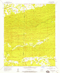
1958 · Loving
USGS Topo · 1:24,000
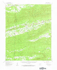
1958 · Bates
USGS Topo · 1:62,500

1958 · Potter
USGS Topo · 1:62,500
1958 · Cauthron
USGS Topo · 1:24,000