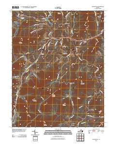
2010 Map of Lovingston
USGS Topo · Published 2010About this map
Lovingston sits along the Thomas Nelson Hwy in this detailed look at central Nelson County. The landscape is defined by the winding course of the Rockfish River, which passes through the dramatic bend of The Horseshoe and powers historic sites like Woods Mill and Lawthorne Mill. The terrain is deeply carved by water, featuring numerous coves and hollows such as Polly Wright Cove, Harris Cove, and Edes Hollow that separate prominent peaks like Sugarloaf Mountain and Naked Mountain.
Find a feature on this map
67 named features on this map. Tap any name to fly to it.
Don’t see what you’re looking for? This feature index may not catch every label — zoom into the map to look around manually.
Map Details
Editions of this 2010 Lovingston Map
This is the sole edition of this map. No revisions or reprints were ever made.
Other maps of this area

1892 · Buckingham
USGS Topo · 1:125,000

1929 · Covesville
USGS Topo · 1:62,500

1935 · Covesville
USGS Topo · 1:62,500

1943 · Lovingston
USGS Topo · 1:62,500

1945 · Covesville
USGS Topo · 1:62,500

1946 · Lovingston
USGS Topo · 1:62,500

1947 · Roanoke
USGS Topo · 1:250,000

1959 · Roanoke
USGS Topo · 1:250,000

1961 · Shipman
USGS Topo · 1:62,500

1961 · Buckingham
USGS Topo · 1:62,500