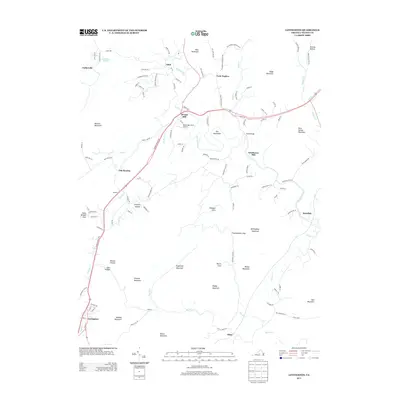
2013 Map of Lovingston
USGS Topo · Published 2013About this map
Lovingston serves as the primary hub in this portion of Nelson County, situated where the Thomas Nelson Hwy cuts through a landscape defined by prominent ridges and deep coves. The drainage patterns of the Rockfish River and its tributaries, such as Dutch Cr and Muddy Cr, have historically dictated the placement of small communities and industrial sites. Industrial history is evident at Woods Mill and Lawthorne Mill, while local aviation is represented by Woodridge Field Airport. The terrain is marked by numerous family-named peaks and hollows, including Mosby Mountain, Peebles Mountain, and Melton Hollow. Smaller settlements like Old Myndus, Gullysville, and Rockfish are scattered throughout the valleys, connected by a network of rural roads that follow the natural contours of the Blue Ridge foothills.
Find a feature on this map
119 named features on this map. Tap any name to fly to it.
Don’t see what you’re looking for? This feature index may not catch every label — zoom into the map to look around manually.
Map Details
Editions of this 2013 Lovingston Map
This is the sole edition of this map. No revisions or reprints were ever made.
Other maps of this area

1892 · Buckingham
USGS Topo · 1:125,000

1929 · Covesville
USGS Topo · 1:62,500

1935 · Covesville
USGS Topo · 1:62,500

1943 · Lovingston
USGS Topo · 1:62,500

1945 · Covesville
USGS Topo · 1:62,500

1946 · Lovingston
USGS Topo · 1:62,500

1947 · Roanoke
USGS Topo · 1:250,000

1959 · Roanoke
USGS Topo · 1:250,000

1961 · Shipman
USGS Topo · 1:62,500

1961 · Buckingham
USGS Topo · 1:62,500