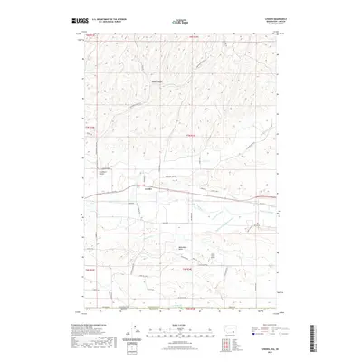
2020 Map of Lowden
USGS Topo · Published 2020About this map
The settlement of Lowden serves as the focal point for this landscape in the Walla Walla Valley, where the confluence of natural hydrology and man-made irrigation defines the local geography. The Walla Walla River and Dry Cr are supplemented by an intricate network of waterways, including the Garden City Ditch, Williams Ditch, and the Mud District Number 2 Canal, illustrating the region's historical reliance on managed water for agriculture.
Find a feature on this map
50 named features on this map. Tap any name to fly to it.
Don’t see what you’re looking for? This feature index may not catch every label — zoom into the map to look around manually.
Map Details
Editions of this 2020 Lowden Map
This is the sole edition of this map. No revisions or reprints were ever made.
Other maps of this area

1915 · Wallulah
USGS Topo · 1:96,000

1918 · Wallula
USGS Topo · 1:125,000

1919 · Walla Walla
USGS Topo · 1:125,000

1921 · Walla Walla
USGS Topo · 1:125,000

1935 · Pendleton
USGS Topo · 1:125,000

1953 · Pendleton
USGS Topo · 1:250,000

1953 · Walla Walla
USGS Topo · 1:250,000

1956 · Pendleton
USGS Topo · 1:250,000

1958 · Walla Walla
USGS Topo · 1:250,000

1964 · Milton-Freewater
USGS Topo · 1:24,000