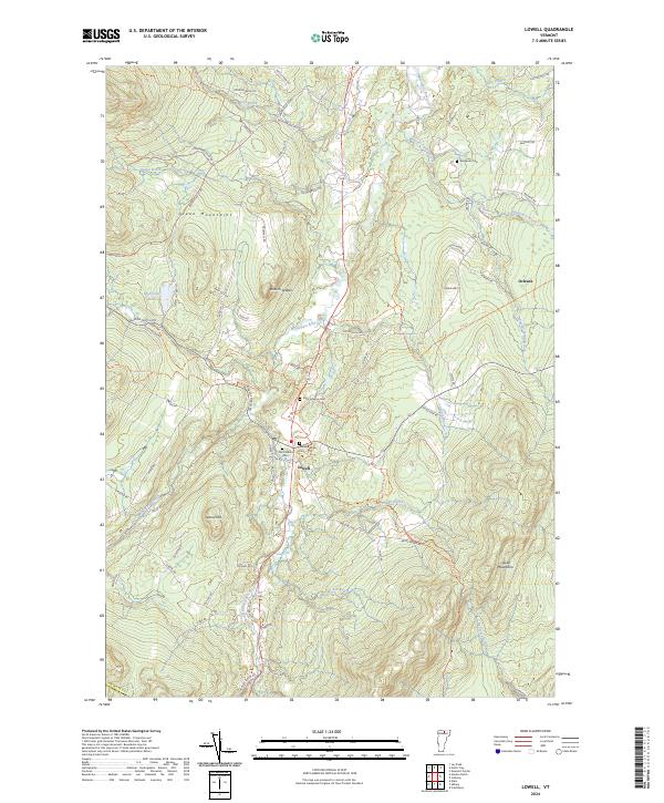
2024 Map of Lowell
USGS Topo · Published 2024About this map
Lowell sits at the convergence of mountain ridges and river valleys, where the Missisquoi River begins its winding course northward. This modern landscape is defined by the high elevations of the Green Mountains to the west and the Lowell Mountains to the east, creating a corridor of settlement and transport. Significant for local history, the map identifies several distinct burial sites including Old Catholic Cem, Saint Ignatius Cem, and Mountainview Cem, all clustered near the village center, while Evergreen Cem lies further north along the valley floor.
Find a feature on this map
85 named features on this map. Tap any name to fly to it.
Don’t see what you’re looking for? This feature index may not catch every label — zoom into the map to look around manually.
Map Details
Editions of this 2024 Lowell Map
This is the sole edition of this map. No revisions or reprints were ever made.
Other maps of this area

1919 · Montgomery
USGS Topo · 1:62,500

1920 · Montgomery
USGS Topo · 1:62,500

1920 · Irasburg
USGS Topo · 1:62,500

1923 · Irasburg
USGS Topo · 1:48,000

1925 · Irasburg
USGS Topo · 1:62,500

1925 · Jay Peak
USGS Topo · 1:62,500

1927 · Hyde Park
USGS Topo · 1:48,000

1928 · Hardwick
USGS Topo · 1:62,500

1930 · Hyde Park
USGS Topo · 1:62,500

1934 · Hardwick
USGS Topo · 1:48,000