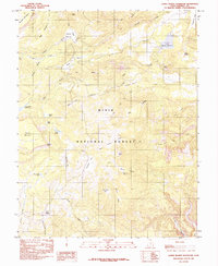
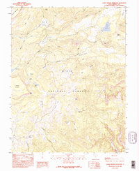
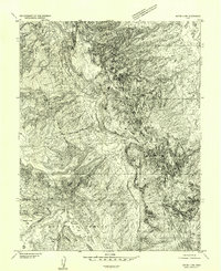
1985 Map of Lower Bowns Reservoir
USGS Topo · Published 1985About this map
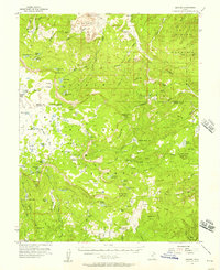
Dixie National Forest dominates this mid-1980s terrain, revealing a high-altitude landscape of plateaus and water catchments. The area is defined by the massive eastern slopes of Boulder Mountain, where drainage patterns from Wildcat Creek and Pleasant Creek feed into vital local resources like the Lower Browns Reservoir. This provisional survey highlights the seasonal nature of the landscape, noting numerous high-elevation water bodies such as Scout Lake, Round Lake, and Steep Creek Lake.
Find a feature on this map
43 named features on this map. Tap any name to fly to it.
Don’t see what you’re looking for? This feature index may not catch every label — zoom into the map to look around manually.
Map Details
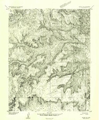
Editions of this 1985 Lower Bowns Reservoir Map
2 editions found
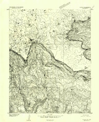
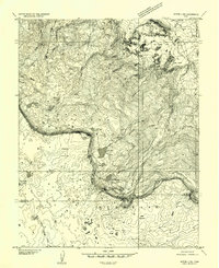
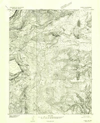
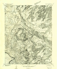
Other maps of this area

1885 · Fish Lake
USGS Topo · 1:250,000

1886 · Escalante
USGS Topo · 1:250,000

1896 · Fish Lake
USGS Topo · 1:250,000
1952 · Notom 3 SW
USGS Topo · 1:24,000
1952 · Notom 3 NW
USGS Topo · 1:24,000
1952 · Notom 4 NW
USGS Topo · 1:24,000
1952 · Notom 4 SW
USGS Topo · 1:24,000
1952 · Notom 3 SE
USGS Topo · 1:24,000
1952 · Notom 3 NE
USGS Topo · 1:24,000
1952 · Grover
USGS Topo · 1:62,500