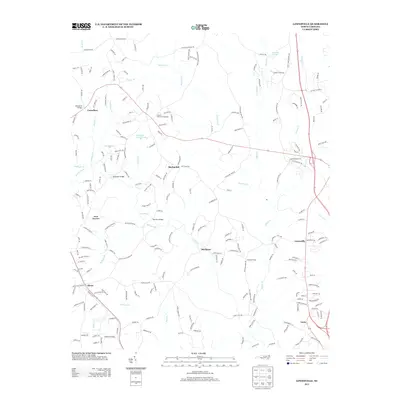
2013 Map of Lowesville
USGS Topo · Published 2013About this map
Alexis and Lowesville serve as primary anchors in this portion of the North Carolina Piedmont, where a dense network of suburban development intermingles with long-standing rural landmarks. The landscape is defined by the winding course of Leepers Cr and Stanley Cr, which feed into the regional drainage system alongside smaller tributaries like McClure Br and Forney Cr. Significant local history is preserved in the naming of sites such as Tuckers Grove Campground and the historic Catawba Springs, alongside family-named crossings like McDowell Bridge and McClure Bridge. Notable industrial or artisanal legacy is hinted at by Fortneys Forge near Mariposa. The terrain is generally moderate, rising toward Reese Mountain in the west, while water features like Episcopal Church Lake and Smith Pond punctuate the residential and agricultural corridors. The presence of Machpelah and Lucia further illustrates the established community fabric of this Gaston and Lincoln County borderland.
Find a feature on this map
218 named features on this map. Tap any name to fly to it.
Don’t see what you’re looking for? This feature index may not catch every label — zoom into the map to look around manually.
Map Details
Editions of this 2013 Lowesville Map
This is the sole edition of this map. No revisions or reprints were ever made.
Other maps of this area

1893 · Statesville
USGS Topo · 1:125,000

1895 · Hickory
USGS Topo · 1:125,000

1914 · Gastonia
USGS Topo · 1:48,000

1916 · Gastonia
USGS Topo · 1:62,500

1941 · Charlotte
USGS Topo · 1:125,000

1942 · Charlotte
USGS Topo · 1:125,000

1948 · Paw Creek
USGS Topo · 1:24,000

1949 · Hicks Crossroads
USGS Topo · 1:24,000

1953 · Charlotte
USGS Topo · 1:250,000

1954 · Charlotte
USGS Topo · 1:250,000