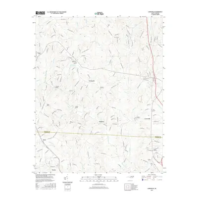
2016 Map of Lowesville
USGS Topo · Published 2016About this map
Leepers Creek and Killian Cr weave through the rolling landscape of eastern Lincoln and northern Gaston Counties, defining a region where small unincorporated settlements like Machpelah and Lucia preserve a deep sense of place. The landscape is dotted with numerous church-related burial grounds, such as the Tuckers Grove Methodist Cem and the Gold Hill Church Cem, which serve as vital markers for genealogical research in this part of North Carolina. Historically significant names like Vesuvius Furnace Rd point to the area's industrial heritage, while the town of Stanley anchor the southern edge of the survey. The presence of Catawba Springs and several local bridges, including Reinhardt Bridge and McClure Bridge, illustrates how early travel patterns were dictated by the numerous watercourses like Stanley Cr and Johnson Cr that intersect the county line.
Find a feature on this map
172 named features on this map. Tap any name to fly to it.
Don’t see what you’re looking for? This feature index may not catch every label — zoom into the map to look around manually.
Map Details
Editions of this 2016 Lowesville Map
This is the sole edition of this map. No revisions or reprints were ever made.
Other maps of this area
1893 · Statesville
USGS Topo · 1:125,000
1895 · Hickory
USGS Topo · 1:125,000
1914 · Gastonia
USGS Topo · 1:48,000
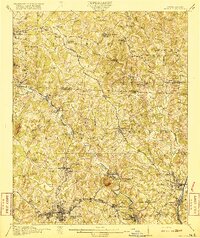
1916 · Gastonia
USGS Topo · 1:62,500
1941 · Charlotte
USGS Topo · 1:125,000
1942 · Charlotte
USGS Topo · 1:125,000
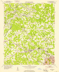
1948 · Paw Creek
USGS Topo · 1:24,000
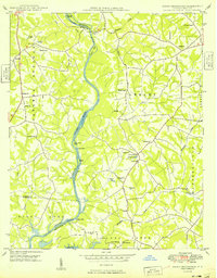
1949 · Hicks Crossroads
USGS Topo · 1:24,000
1953 · Charlotte
USGS Topo · 1:250,000
1954 · Charlotte
USGS Topo · 1:250,000