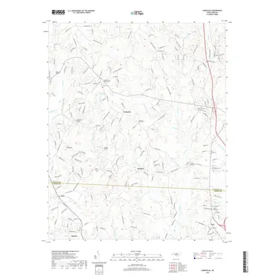
2019 Map of Lowesville
USGS Topo · Published 2019About this map
Machpelah and Mariposa anchor a landscape defined by rolling hills and small watercourses on the border of Lincoln and Gaston counties. Historically significant thoroughfares like Vesuvius Furnace Rd point toward the region's early industrial heritage, while a dense network of burial grounds—including Tuckers Grove Methodist Cem, Machpelah Cem, and Hills Chapel Cem—provides a rich record for genealogical study. The terrain is marked by prominent elevations such as Reese Mtn and the waters of Leepers Creek, which are crossed by local landmarks like the McClure Bridge and Reinhardt Bridge. Toward the southern edge, the growing community of Stanley and the settlement of Alexis show the transition from rural woodlands to established neighborhoods, all while maintaining proximity to natural features like Episcopal Church Lake and Catawba Springs.
Find a feature on this map
175 named features on this map. Tap any name to fly to it.
Don’t see what you’re looking for? This feature index may not catch every label — zoom into the map to look around manually.
Map Details
Editions of this 2019 Lowesville Map
This is the sole edition of this map. No revisions or reprints were ever made.
Other maps of this area

1893 · Statesville
USGS Topo · 1:125,000

1895 · Hickory
USGS Topo · 1:125,000

1914 · Gastonia
USGS Topo · 1:48,000

1916 · Gastonia
USGS Topo · 1:62,500

1941 · Charlotte
USGS Topo · 1:125,000

1942 · Charlotte
USGS Topo · 1:125,000

1948 · Paw Creek
USGS Topo · 1:24,000

1949 · Hicks Crossroads
USGS Topo · 1:24,000

1953 · Charlotte
USGS Topo · 1:250,000

1954 · Charlotte
USGS Topo · 1:250,000