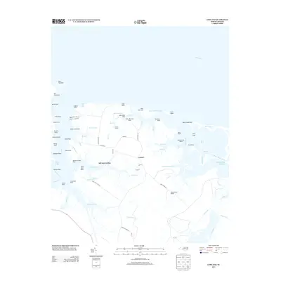
2013 Map of Lowland
USGS Topo · Published 2013About this map
Lowland serves as the central settlement of this coastal landscape, situated on the expansive Goose Creek Island where the Pamlico River meets the sound. This 2013 survey illustrates a community deeply integrated with its hydraulic surroundings, defined by a complex network of marshes, guts, and prongs. Local transport and commerce are anchored by sites such as Mill Seat Landing and Caraway Landing, which provide access to the labyrinthine waterways of Eastham Cr and Oyster Cr.
Find a feature on this map
81 named features on this map. Tap any name to fly to it.
Don’t see what you’re looking for? This feature index may not catch every label — zoom into the map to look around manually.
Map Details
Editions of this 2013 Lowland Map
This is the sole edition of this map. No revisions or reprints were ever made.
Other maps of this area
1950 · Vandemere
USGS Topo · 1:24,000
1950 · Lowland
USGS Topo · 1:24,000
1950 · South Creek
USGS Topo · 1:24,000
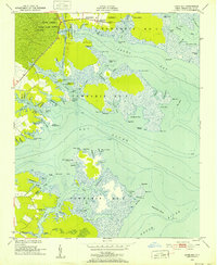
1950 · Jones Bay
USGS Topo · 1:24,000
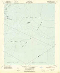
1951 · Brant Island
USGS Topo · 1:24,000
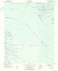
1951 · Pamlico Point
USGS Topo · 1:24,000
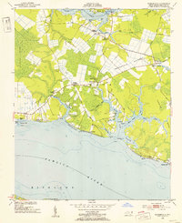
1951 · Ransomville
USGS Topo · 1:24,000
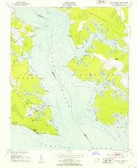
1951 · Pamlico Beach
USGS Topo · 1:24,000
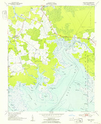
1951 · Scranton
USGS Topo · 1:24,000
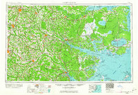
1953 · Rocky Mount
USGS Topo · 1:250,000