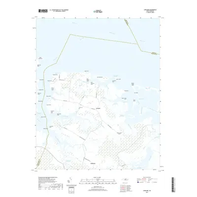
2019 Map of Lowland
USGS Topo · Published 2019About this map
Lowland and Hobucken anchor this coastal landscape where the Pamlico River meets a complex network of marshes and tidal guts. The community of Lowland is centered along Lowland Rd, with the Watson Cem serving as a local genealogical landmark. To the south, Hobucken sits near the Intracoastal Waterway, reflecting the area's deep connection to maritime transit.
Find a feature on this map
78 named features on this map. Tap any name to fly to it.
Don’t see what you’re looking for? This feature index may not catch every label — zoom into the map to look around manually.
Map Details
Editions of this 2019 Lowland Map
This is the sole edition of this map. No revisions or reprints were ever made.
Other maps of this area
1950 · Vandemere
USGS Topo · 1:24,000
1950 · Lowland
USGS Topo · 1:24,000
1950 · South Creek
USGS Topo · 1:24,000
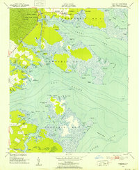
1950 · Jones Bay
USGS Topo · 1:24,000
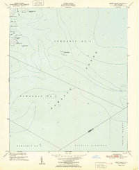
1951 · Brant Island
USGS Topo · 1:24,000
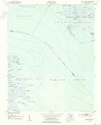
1951 · Pamlico Point
USGS Topo · 1:24,000
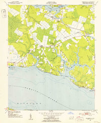
1951 · Ransomville
USGS Topo · 1:24,000
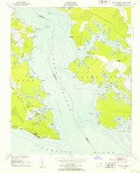
1951 · Pamlico Beach
USGS Topo · 1:24,000
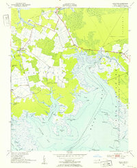
1951 · Scranton
USGS Topo · 1:24,000
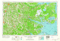
1953 · Rocky Mount
USGS Topo · 1:250,000